Transport Functions
Multimodal
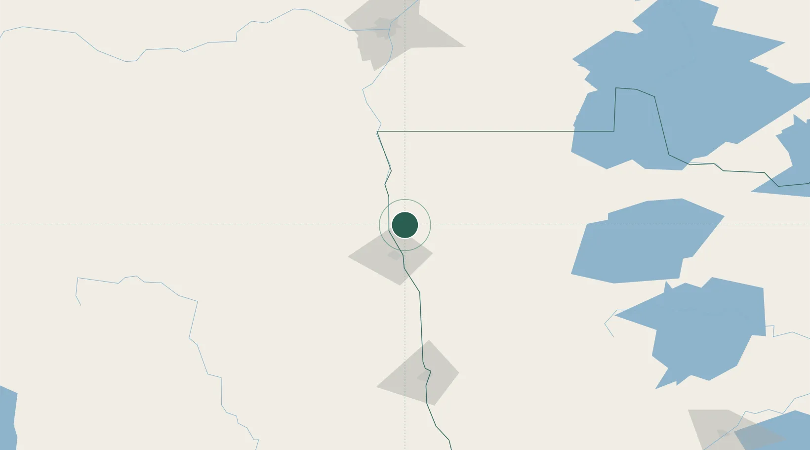
Hub Profile
Place type
Populated place
Region
Minnesota
Population
356
Time zone
America/Chicago
Elevation
248 m
Location
Nearby Logistics Neighbours
Ports
- 1Duluth399 km
- 2Superior403 km
- 3Two Harbors420 km
- 4Bayfield488 km
- 5Washburn489 km
Airports
Trade Zones
- 1FTZ No. 103 Grand Forks33 km
- 2FTZ No. 267 Fargo148 km
- 3Winnipegs Centreport Canada191 km
- 4FTZ No. 259 Koochiching County198 km
- 5FTZ No. 051 Duluth389 km
DatabookThe Record of Consolidated Knowledge
United States beyond logistics?