UN/LOCODE hub · United States
USPKB
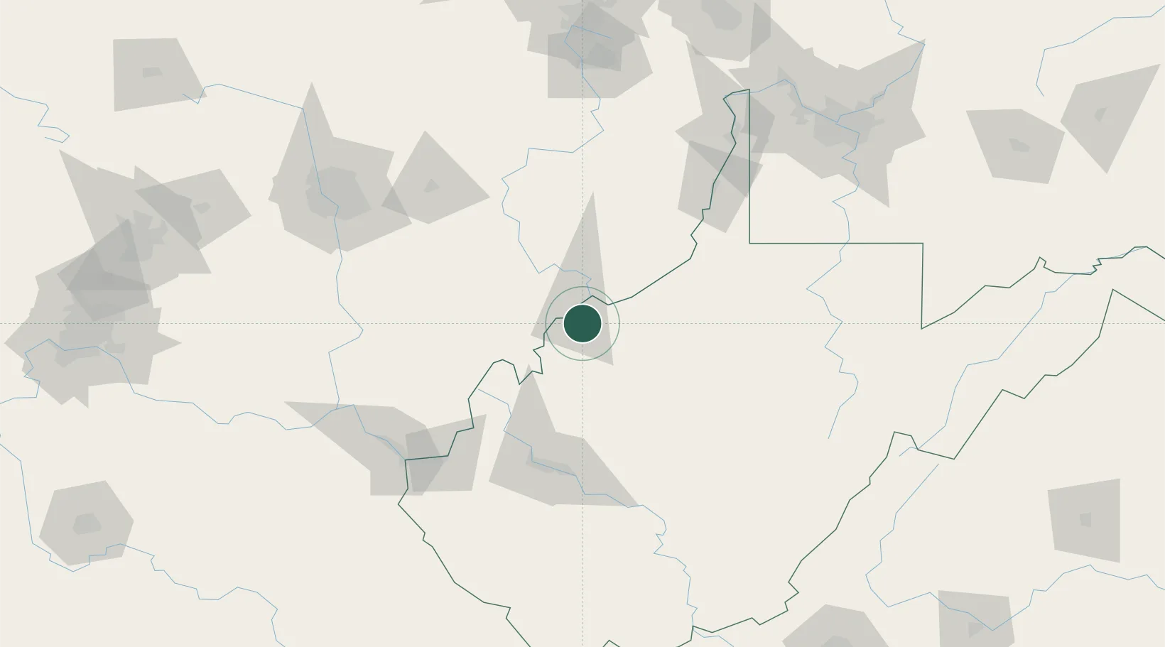
Parkersburg
39.2392°, -81.5226°
30,991
Population
3
Transport functions
Transport Functions
Rail
Road
Airport
Hub Profile
Place type
Provincial seat
Region
West Virginia
Population
30,991
Time zone
America/New_York
Elevation
187 m
Logistics facilities
1
Location
Nearby Logistics Neighbours
Cities
- 1Cedar Grove3 km
- 2Mineralwells6 km
- 3Little Hocking15 km
- 4Waverly17 km
- 5Reno19 km
Airports
Trade Zones
- 1FTZ No. 229 Charleston101 km
- 2FTZ No. 138 Franklin County137 km
- 3FTZ No. 033 Pittsburgh183 km
- 4FTZ No. 181 Akron Canton192 km
- 5FTZ No. 054 Clinton County196 km
DatabookThe Record of Consolidated Knowledge
United States beyond logistics?