Transport Functions
Port
Multimodal
Hub Profile
Place type
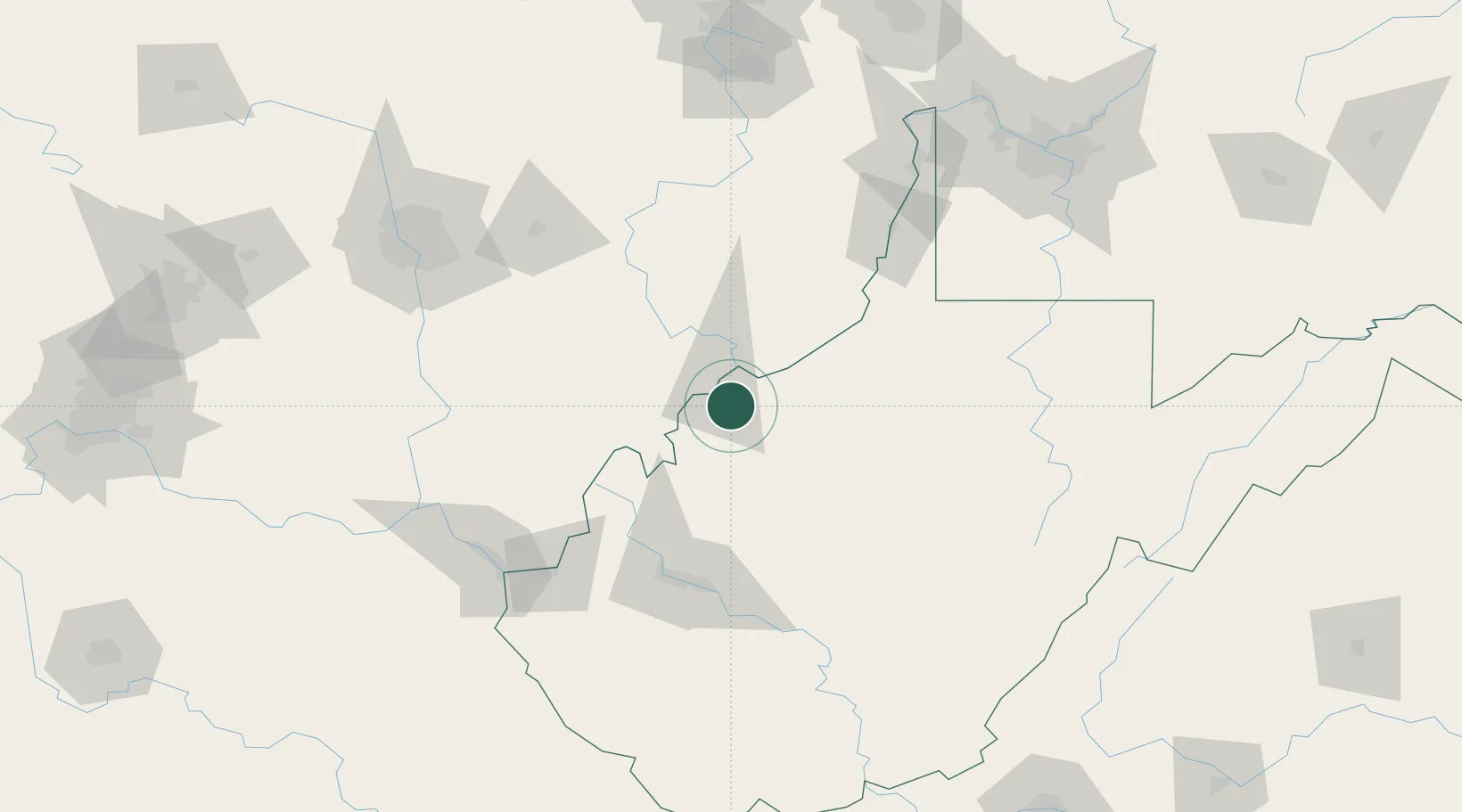
Populated place
Region
West Virginia
Time zone
America/New_York
Elevation
229 m
Location
Nearby Logistics Neighbours
Cities
- 1Parkersburg3 km
- 2Mineralwells5 km
- 3Waverly17 km
- 4Little Hocking18 km
- 5Reno20 km
Airports
Trade Zones
- 1FTZ No. 229 Charleston99 km
- 2FTZ No. 138 Franklin County140 km
- 3FTZ No. 033 Pittsburgh183 km
- 4FTZ No. 181 Akron Canton195 km
- 5FTZ No. 054 Clinton County198 km
DatabookThe Record of Consolidated Knowledge
United States beyond logistics?