UN/LOCODE hub · United States
USGB6
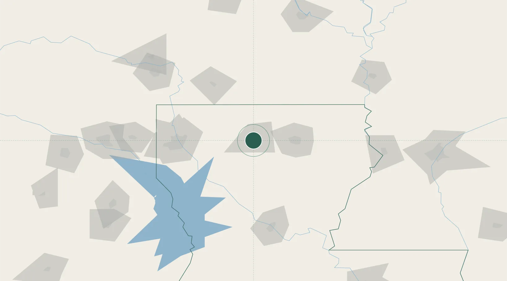
Grambling
32.5167°, -92.7000°
5,209
Population
1
Transport functions
Transport Functions
Multimodal
Hub Profile
Place type
Populated place
Region
Louisiana
Population
5,209
Time zone
America/Chicago
Elevation
93 m
Location
Nearby Logistics Neighbours
Ports
- 1Lake Charles261 km
- 2Baton Rouge271 km
- 3Orange288 km
- 4Beaumont301 km
- 5Port Neches304 km
Airports
Trade Zones
- 1FTZ No. 145 Shreveport118 km
- 2FTZ No. 146 Lawrence County118 km
- 3FTZ No. 158 Vicksburg Jackson181 km
- 4FTZ No. 234 Gregg County209 km
- 5FTZ No. 258 Bowie County213 km
DatabookThe Record of Consolidated Knowledge
United States beyond logistics?