Transport Functions
Road
Multimodal
Hub Profile
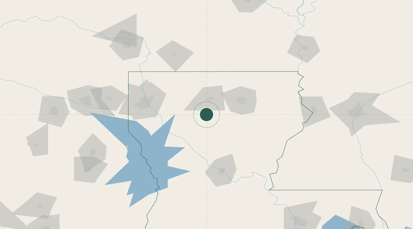
Place type
Populated place
Region
Louisiana
Population
470
Time zone
America/Chicago
Elevation
58 m
Location
Nearby Logistics Neighbours
Ports
- 1Lake Charles235 km
- 2Baton Rouge251 km
- 3Orange263 km
- 4Beaumont277 km
- 5Port Neches280 km
Airports
Trade Zones
- 1FTZ No. 145 Shreveport118 km
- 2FTZ No. 146 Lawrence County118 km
- 3FTZ No. 158 Vicksburg Jackson181 km
- 4FTZ No. 234 Gregg County209 km
- 5FTZ No. 297 Lufkin224 km
DatabookThe Record of Consolidated Knowledge
United States beyond logistics?