Large airport · United States
John F. Kennedy International AirportKJFK
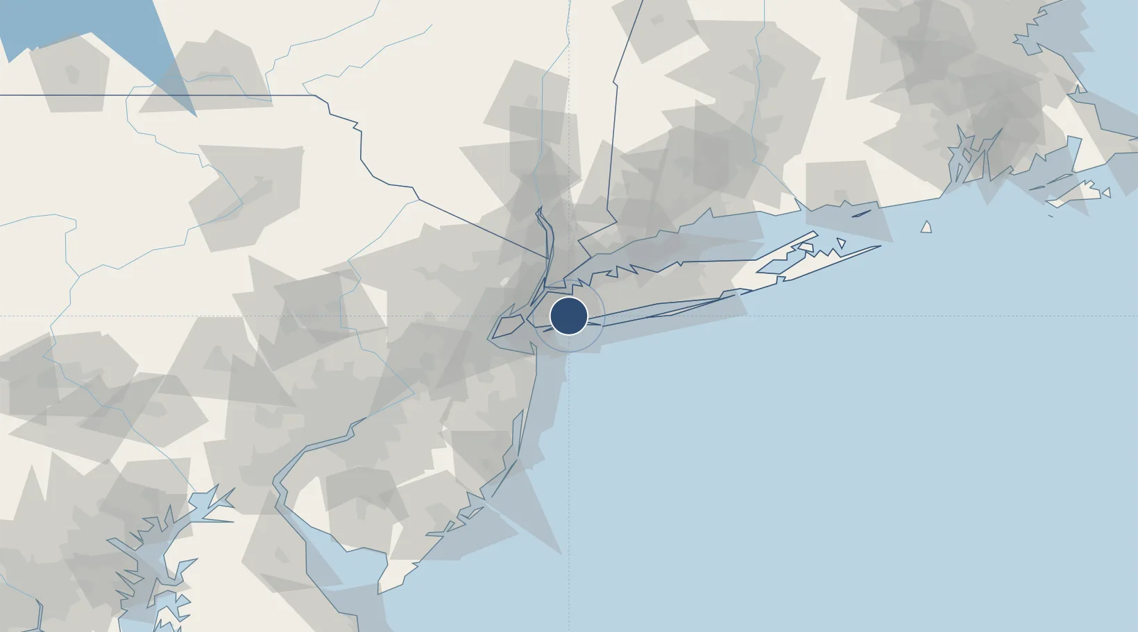
40.6394°, -73.7793°
14,511 ft
Longest runway
4
Runways
13 ft
Elevation
Runway & Layout

Radio Frequencies
ATIS
115.1 MHz
TWR
119.1 MHz
KENNEDY TWR
TWR
123.9 MHz
TWR ALT
GND
121.65 MHz
GND ALT
GND
121.9 MHz
CLD
135.05 MHz
CLNC DEL
APP
125.7 MHz
NEW YORK APP (ROBER)
APP
127.4 MHz
NEW YORK APPROACH (CAMRN)
APP
132.4 MHz
NEW YORK APPROACH (FINAL)
DEP
135.9 MHz
NEW YORK DEP
RDO
115.9 MHz
NEW YORK RDO
UNIC
122.95 MHz
UNICOM
Navaids
CRI VOR-DME Canarsie 112.30 MHz
JFK VOR-DME Kennedy 115.90 MHz
Runways · 4
| Runway | Dimensions | Surface | True heading | Lit |
|---|---|---|---|---|
| 13R/31L | 14,511 × 200ft | Asphalt / concrete | 121° | ✓ |
| 04L/22R | 12,079 × 200ft | Asphalt / concrete | 031° | ✓ |
| 13L/31R | 10,000 × 200ft | Asphalt / concrete | 121° | ✓ |
| 04R/22L | 8,400 × 200ft | Asphalt | 031° | ✓ |
Airport Specifications
IATA code
JFK
ICAO code
KJFK
Airport class
Large airport
Scheduled service
Yes
Runway surface
Asphalt / concrete
Served city
New York
Location
Nearby Logistics Neighbours
Airports
- 1LaGuardia Airport17 km
- 2New York Skyports Inc Seaplane Base20 km
- 3East 34th Street Heliport20 km
- 4West 30th Street Heliport23 km
- 5Republic Airport32 km
Cities
- 1Laurelton4 km
- 2South Ozone Park4 km
- 3Springfield Gardens5 km
- 4Far Rockaway, Queens5 km
- 5Lawrence6 km
Ports
- 1Brooklyn20 km
- 2New York City21 km
- 3Jersey City23 km
- 4City Island23 km
- 5Hoboken24 km
Trade Zones
DatabookThe Record of Consolidated Knowledge
United States beyond logistics?