Transport Functions
Port
Road
Hub Profile
Place type
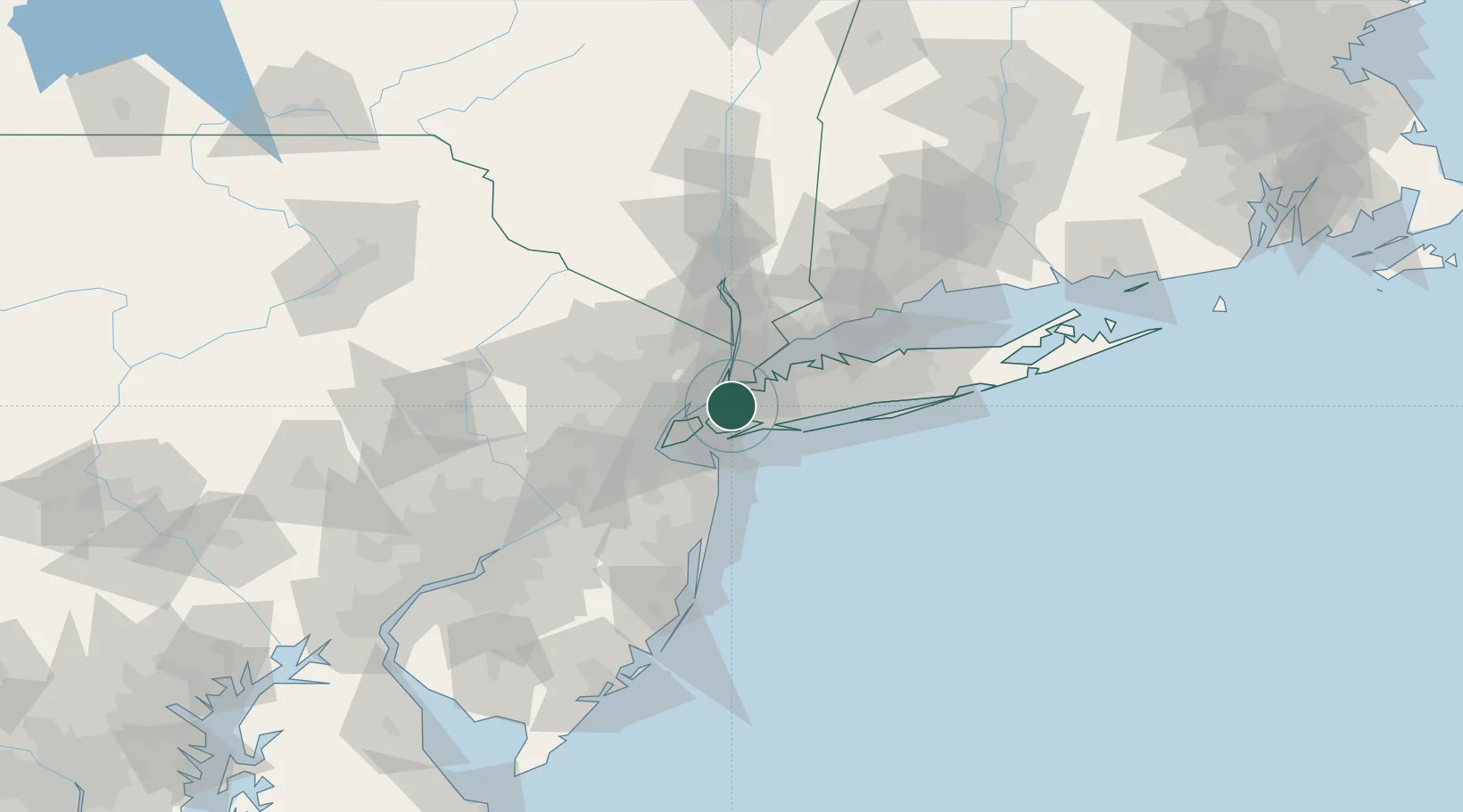
Populated place
Region
New York
Time zone
America/New_York
Elevation
0 m
Location
Nearby Logistics Neighbours
Cities
- 1Woodhaven3 km
- 2Sunnyside, Queens4 km
- 3Rego Park, Queens7 km
- 4Brooklyn/New York8 km
- 5South Ozone Park9 km
Ports
- 1New York City8 km
- 2Brooklyn9 km
- 3Jersey City10 km
- 4Hoboken10 km
- 5Weehawken11 km
Airports
Trade Zones
DatabookThe Record of Consolidated Knowledge
United States beyond logistics?