Transport Functions
Rail
Road
Multimodal
Hub Profile
Place type
Populated place
Region
Louisiana
Population
864
Time zone
America/Chicago
Elevation
78 m
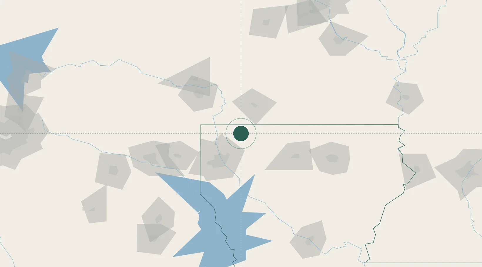
Location
Nearby Logistics Neighbours
Cities
- 1Cotton Valley8 km
- 2Bradley31 km
- 3Princeton34 km
- 4Benton35 km
- 5Homer37 km
Ports
- 1Lake Charles297 km
- 2Orange313 km
- 3Beaumont317 km
- 4Port Neches324 km
- 5Port Arthur343 km
Airports
Trade Zones
- 1FTZ No. 145 Shreveport67 km
- 2FTZ No. 146 Lawrence County67 km
- 3FTZ No. 258 Bowie County132 km
- 4FTZ No. 234 Gregg County144 km
- 5FTZ No. 297 Lufkin215 km
DatabookThe Record of Consolidated Knowledge
United States beyond logistics?