UN/LOCODE hub · United States
USTL9
Cotton Valley
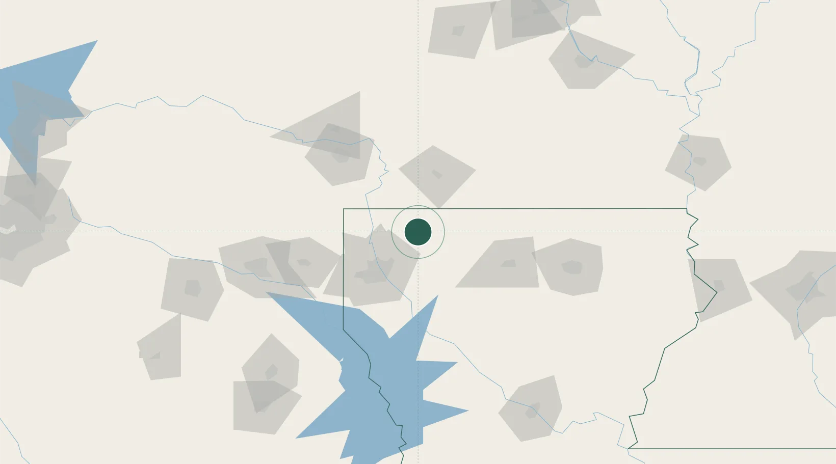
32.8167°, -93.4167°
974
Population
1
Transport functions
Transport Functions
Multimodal
Hub Profile
Place type
Populated place
Region
Louisiana
Population
974
Time zone
America/Chicago
Elevation
68 m
Location
Nearby Logistics Neighbours
Ports
- 1Lake Charles290 km
- 2Orange305 km
- 3Beaumont310 km
- 4Port Neches317 km
- 5Port Arthur336 km
Airports
Trade Zones
- 1FTZ No. 145 Shreveport64 km
- 2FTZ No. 146 Lawrence County64 km
- 3FTZ No. 258 Bowie County138 km
- 4FTZ No. 234 Gregg County145 km
- 5FTZ No. 297 Lufkin211 km
DatabookThe Record of Consolidated Knowledge
United States beyond logistics?