UN/LOCODE hub · United States
USG2H
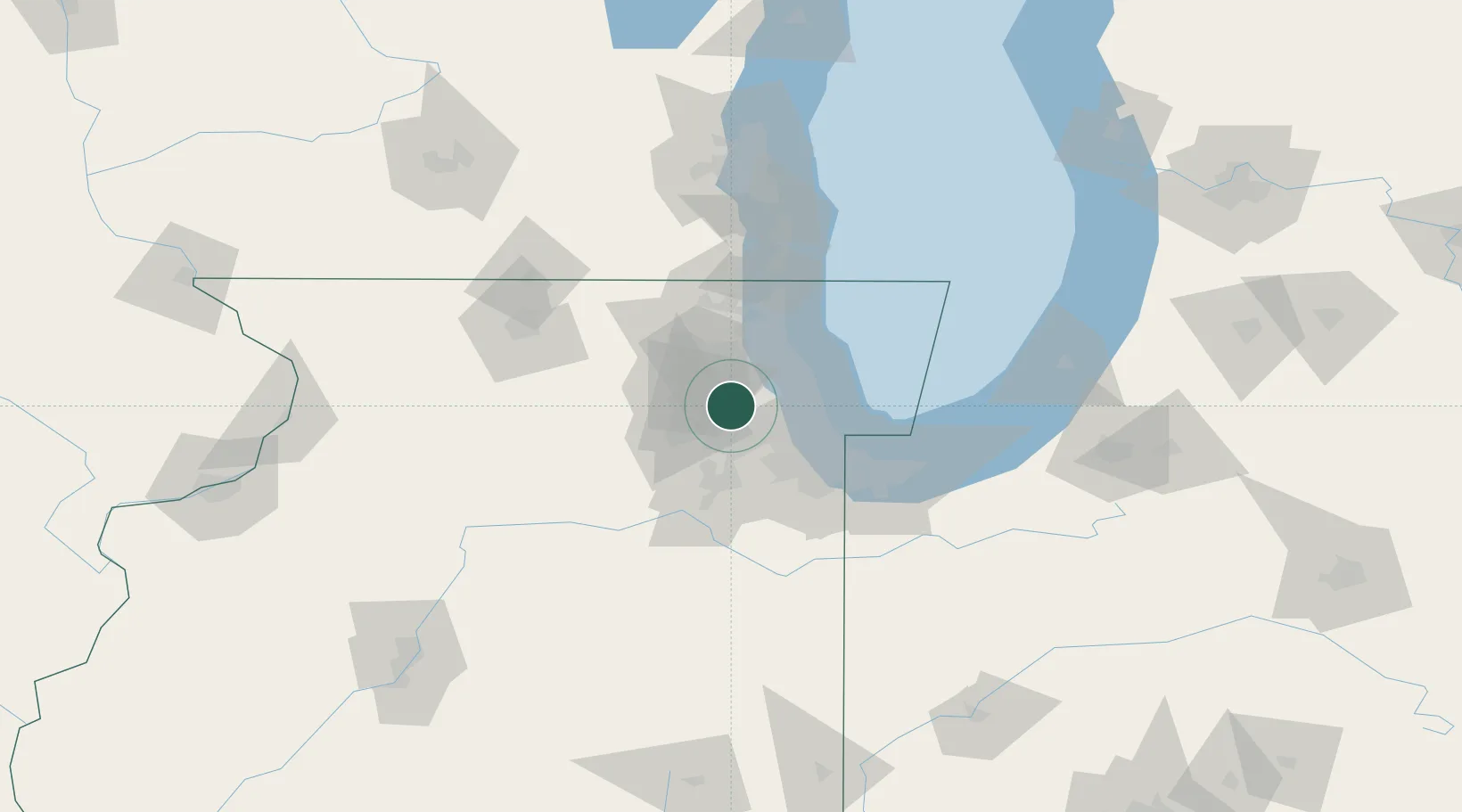
Glendale Heights
41.9000°, -88.0667°
34,208
Population
1
Transport functions
Transport Functions
Port
Hub Profile
Place type
Populated place
Region
Illinois
Population
34,208
Time zone
America/Chicago
Elevation
232 m
Location
Nearby Logistics Neighbours
Cities
- 1Itasca10 km
- 2Oakbrook Terrace11 km
- 3Clarendon Hill15 km
- 4Westchester17 km
- 5Western Springs18 km
Ports
- 1Wilmette38 km
- 2Chicago39 km
- 3Great Lakes49 km
- 4Calumet Harbor49 km
- 5Waukegan56 km
Airports
Trade Zones
- 1FTZ No. 022 Chicago18 km
- 2FTZ No. 292 Lake County49 km
- 3FTZ No. 152 Burns Harbor81 km
- 4FTZ No. 176 Rockford102 km
- 5FTZ No. 041 Milwaukee129 km
DatabookThe Record of Consolidated Knowledge
United States beyond logistics?