Transport Functions
Port
Road
Hub Profile
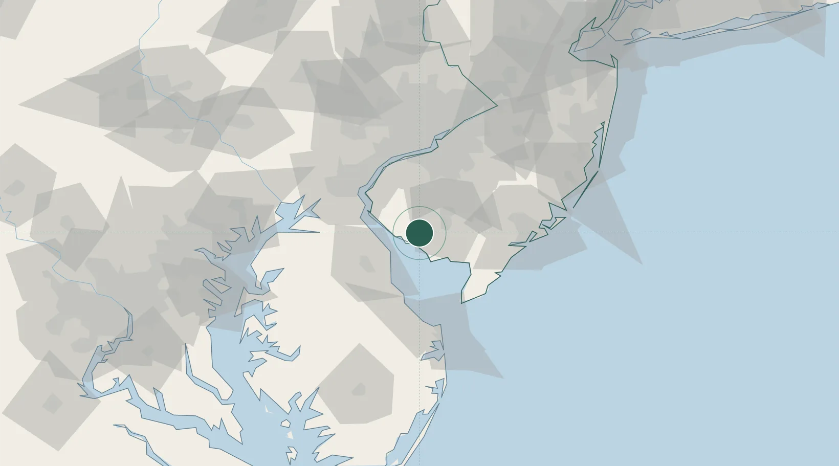
Place type
Populated place
Region
New Jersey
Population
1,264
Time zone
America/New_York
Elevation
8 m
Location
Nearby Logistics Neighbours
Cities
- 1Millville16 km
- 2Deerfield17 km
- 3Port Norris22 km
- 4Pittsgrove22 km
- 5Port Elizabeth23 km
Ports
- 1Salem Nj40 km
- 2New Castle44 km
- 3Deepwater Point45 km
- 4Wilmington50 km
- 5Marcus Hook53 km
Airports
Trade Zones
- 1FTZ No. 142 Salem Millville9 km
- 2FTZ No. 099 Wilmington51 km
- 3FTZ No. 035 Philadelphia71 km
- 4FTZ No. 200 Mercer County106 km
- 5FTZ No. 235 Lakewood115 km
DatabookThe Record of Consolidated Knowledge
United States beyond logistics?