UN/LOCODE hub · India
INVSP

Wipro Sez/Resapuvanipalem

17.7333°, 83.3167°
1
Transport functions

Transport Functions

Multimodal
UN/LOCODE

Hub Profile

Region
AP
GeoNames

Location

Location of INVSP
Natural Earth 10m (public domain) · AP · INVSP · 17.73, 83.32GoogleOSMYandex

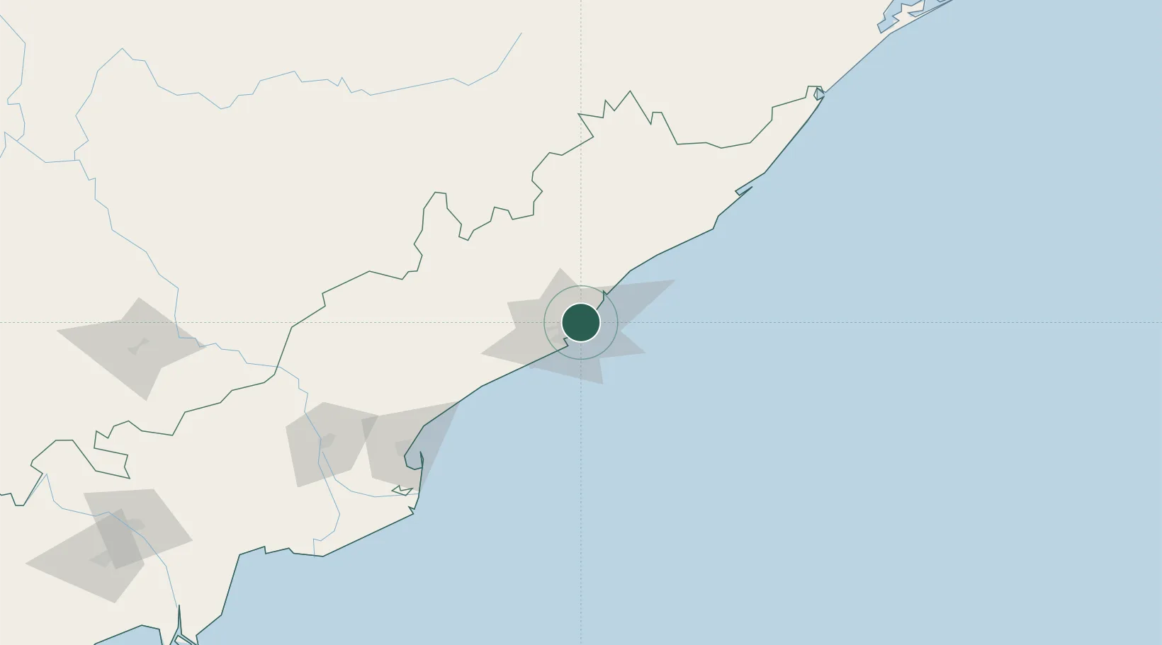
Nearby Logistics Neighbours

Cities
  1. 1BIACPL SEZ/Visakhapatnam4 km
  2. 2APIICL SEZ/Visakhapatnam4 km
  3. 3RPCIPL SEZ/Visakhapatnam4 km
  4. 4Aal-SEZ/Vishakhapatnam4 km
  5. 5Hipl SEZ/Visakhapatnam4 km
Nearest neighbours — logibook spatial index (haversine) over the source coordinates
Ports
  1. 1Vishakhapatnam6 km
  2. 2Gangavaram13 km
  3. 3Kakinada Bay134 km
  4. 4Gopalpur246 km
  5. 5Paradip452 km
Nearest neighbours — logibook spatial index (haversine) over the source coordinates
Airports
  1. 1Visakhapatnam International Airport10 km
  2. 2Rajahmundry Airport174 km
  3. 3Jagdalpur Airport201 km
  4. 4Utkela Airport263 km
  5. 5Vijayawada International Airport299 km
Nearest neighbours — logibook spatial index (haversine) over the source coordinates
Trade Zones
  1. 1CMC Limited1 km
  2. 2M S. Apiic Ltd., Naidupeta11 km
  3. 3Apiic Ltd. (Specialized Zone (IT)) Madhurwada, Hill No. 311 km
  4. 4Apiic, Madhurwada, Hill No. 211 km
  5. 5Visakhapatnam Special Economic Zone17 km
Nearest neighbours — logibook spatial index (haversine) over the source coordinates
DatabookThe Record of Consolidated Knowledge
India beyond logistics?
Browse databook

All Sources

LocationsUN/LOCODE
UN/LOCODE — free
Portsthe NGA World Port Index
Public domain (US gov)
AirportsOurAirports
Public domain
Trade Zonesthe World Bank SEZ database
CC BY 4.0
Trade ZonesOpen Zone Map
CC BY
← India locations