UN/LOCODE hub · Tanzania
TZICD

African Inland Container Depot
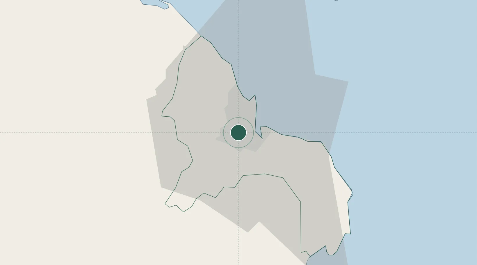
-6.8333°, 39.2333°
1
Transport functions

Transport Functions

Multimodal
UN/LOCODE

Hub Profile

Region
02
GeoNames

Location

Location of TZICD
Natural Earth 10m (public domain) · 02 · TZICD · -6.83, 39.23GoogleOSMYandex

Nearby Logistics Neighbours

Cities
  1. 1Dar es Salaam2 km
  2. 2Kibaha36 km
  3. 3Zanzibar76 km
  4. 4Ikwiriri130 km
  5. 5Tanga197 km
Nearest neighbours — logibook spatial index (haversine) over the source coordinates
Ports
  1. 1Dar Es Salaam8 km
  2. 2Zanzibar74 km
  3. 3Tanga195 km
  4. 4Kilwa Kivinje212 km
  5. 5Mombasa311 km
Nearest neighbours — logibook spatial index (haversine) over the source coordinates
Airports
  1. 1Julius Nyerere International Airport5 km
  2. 2Abeid Amani Karume International Airport68 km
  3. 3Mafia Airport130 km
  4. 4Pemba Airport187 km
  5. 5Tanga Airport194 km
Nearest neighbours — logibook spatial index (haversine) over the source coordinates
Trade Zones
  1. 1Benjamin Mkapa Special Economic Zone4 km
  2. 2Millenium Business Park Export Processing Zone4 km
  3. 3Hidafhi Export Processing Zone5 km
  4. 4Kurasini Trade and Logistics Centre6 km
  5. 5Tungi Special Economic Zone9 km
Nearest neighbours — logibook spatial index (haversine) over the source coordinates
DatabookThe Record of Consolidated Knowledge
Tanzania beyond logistics?
Browse databook

All Sources

LocationsUN/LOCODE
UN/LOCODE — free
Portsthe NGA World Port Index
Public domain (US gov)
AirportsOurAirports
Public domain
Trade Zonesthe World Bank SEZ database
CC BY 4.0
Trade ZonesOpen Zone Map
CC BY
← Tanzania locations