UN/LOCODE hub · Tanzania
TZDAR
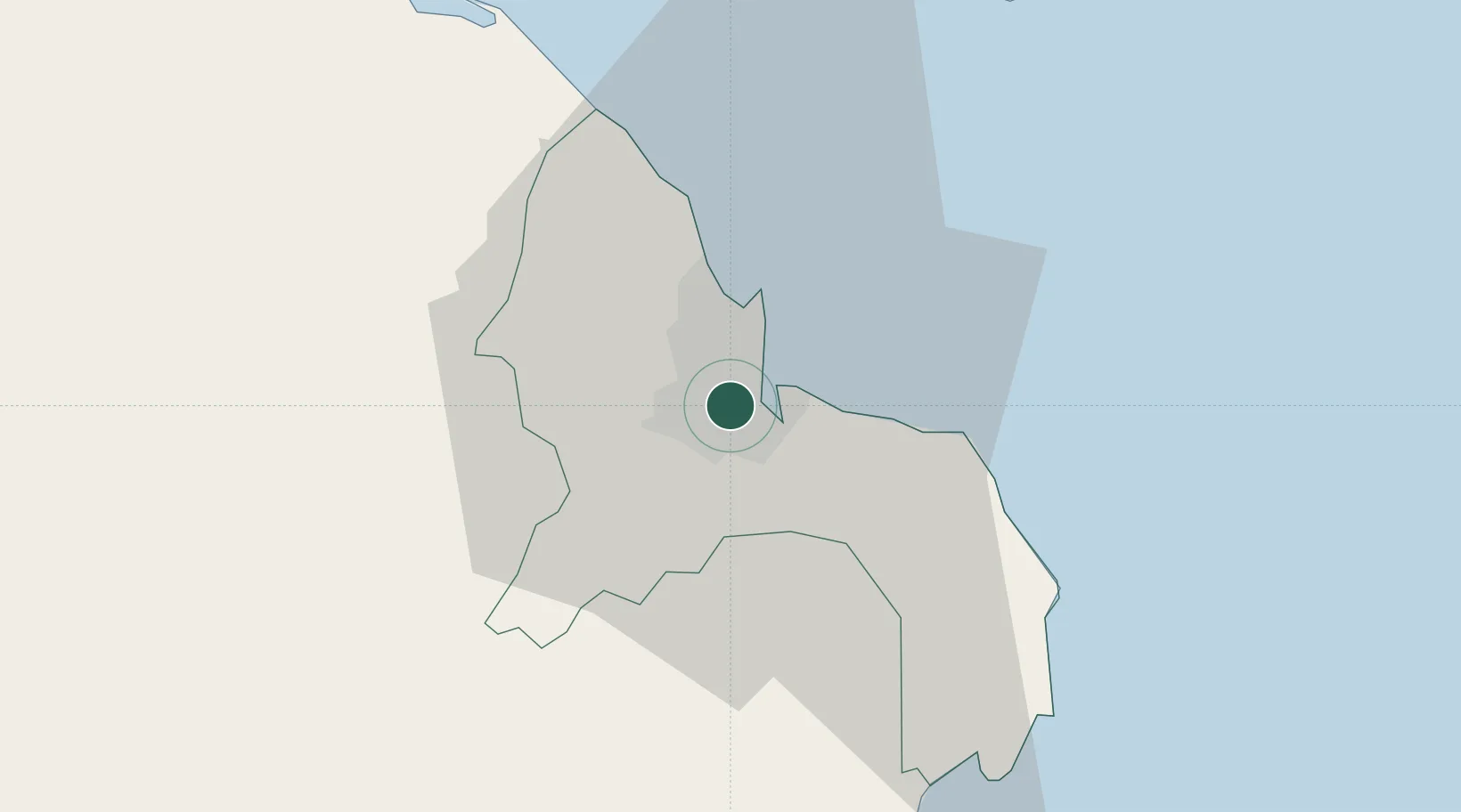
Dar es Salaam
-6.8338°, 39.2520°
5,383,728
Population
5
Transport functions
1
Container terminals
Transport Functions
Port
Rail
Road
Airport
Postal
Hub Profile
Place type
Regional capital
Region
Dar es Salaam Region
Population
5,383,728
Time zone
Africa/Dar_es_Salaam
Elevation
24 m
Logistics facilities
53
Container terminals
1
Location
Nearby Logistics Neighbours
Cities
- 1African Inland Container Depot2 km
- 2Kibaha38 km
- 3Zanzibar76 km
- 4Ikwiriri130 km
- 5Tanga197 km
Ports
- 1Zanzibar75 km
- 2Tanga195 km
- 3Kilwa Kivinje212 km
- 4Mombasa311 km
- 5Kilifi362 km
Airports
- 1Julius Nyerere International Airport7 km
- 2Abeid Amani Karume International Airport68 km
- 3Mafia Airport129 km
- 4Pemba Airport186 km
- 5Tanga Airport195 km
DatabookThe Record of Consolidated Knowledge
Tanzania beyond logistics?