Large airport · Tanzania

Julius Nyerere International AirportHTDA
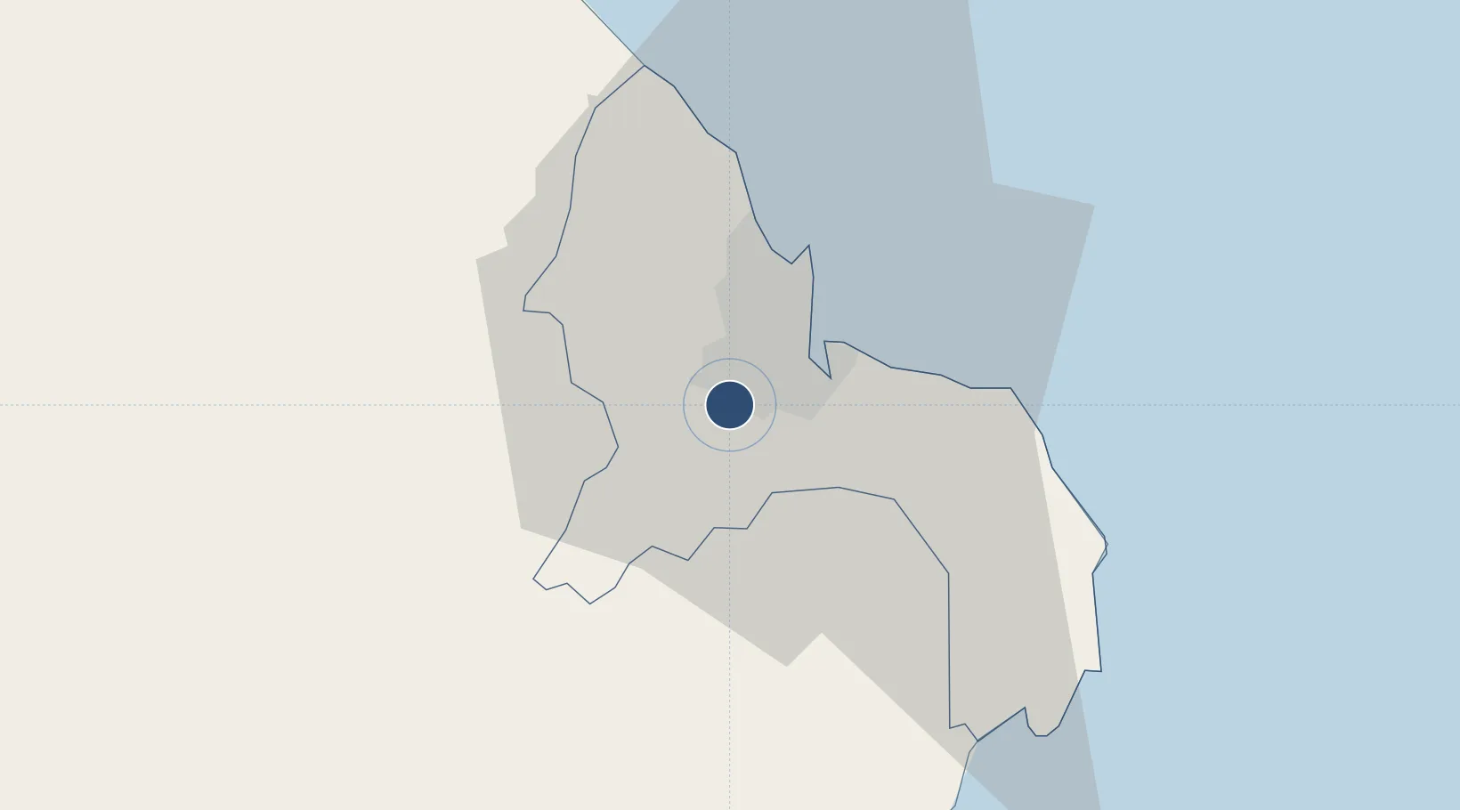
-6.8735°, 39.2073°
9,843 ft
Longest runway
2
Runways
182 ft
Elevation

Runway & Layout

Julius Nyerere International Airport runway & taxiway layout
Runway & taxiway layout — OpenStreetMap (ODbL) / OurAirports

Radio Frequencies

TWR
118.3 MHz
APP
119.6 MHz
ACC
119.3 MHz
CON
OurAirports

Navaids

DM NDB Dar Es Salaam 273 kHz
DR NDB Dar Es Salaam 361 kHz
DS NDB Dar Es Salaam 283 kHz
DV VOR-DME Dar Es Salaam 112.70 MHz
OurAirports

Runways · 2

RunwayDimensions SurfaceTrue headingLit
05/23 9,843 × 151ft Asphalt 045°
14/32 3,280 × 98ft Asphalt 135°
OurAirports

Airport Specifications

IATA code
DAR
OurAirports
ICAO code
HTDA
OurAirports
Airport class
Large airport
OurAirports
Scheduled service
Yes
OurAirports
Runway surface
Asphalt
OurAirports
Served city
Dar es Salaam
OurAirports

Location

Location of HTDA
Natural Earth 10m (public domain) · Dar-Es-Salaam · HTDA · -6.87, 39.21GoogleOSMYandex

Nearby Logistics Neighbours

Airports
  1. 1Abeid Amani Karume International Airport73 km
  2. 2Mafia Airport127 km
  3. 3Pemba Airport192 km
  4. 4Tanga Airport199 km
  5. 5Moi International Airport319 km
Nearest neighbours — logibook spatial index (haversine) over the source coordinates
Cities
  1. 1African Inland Container Depot5 km
  2. 2Dar es Salaam7 km
  3. 3Kibaha34 km
  4. 4Zanzibar80 km
  5. 5Ikwiriri125 km
Nearest neighbours — logibook spatial index (haversine) over the source coordinates
Ports
  1. 1Dar Es Salaam12 km
  2. 2Zanzibar79 km
  3. 3Tanga199 km
  4. 4Kilwa Kivinje208 km
  5. 5Mombasa316 km
Nearest neighbours — logibook spatial index (haversine) over the source coordinates
Trade Zones
  1. 1Benjamin Mkapa Special Economic Zone7 km
  2. 2Millenium Business Park Export Processing Zone9 km
  3. 3Hidafhi Export Processing Zone9 km
  4. 4Kurasini Trade and Logistics Centre10 km
  5. 5Tungi Special Economic Zone12 km
Nearest neighbours — logibook spatial index (haversine) over the source coordinates
DatabookThe Record of Consolidated Knowledge
Tanzania beyond logistics?
Browse databook

All Sources

AirportsOurAirports
Public domain
Portsthe NGA World Port Index
Public domain (US gov)
LocationsUN/LOCODE
UN/LOCODE — free
Trade Zonesthe World Bank SEZ database
CC BY 4.0
Trade ZonesOpen Zone Map
CC BY
InfrastructureOpenStreetMap
ODbL 1.0
← Tanzania airports