Runway & Layout

Airport Specifications
IATA code
MTF
ICAO code
HAMT
Airport class
Small airport
Scheduled service
Yes
Served city
Mizan Teferi
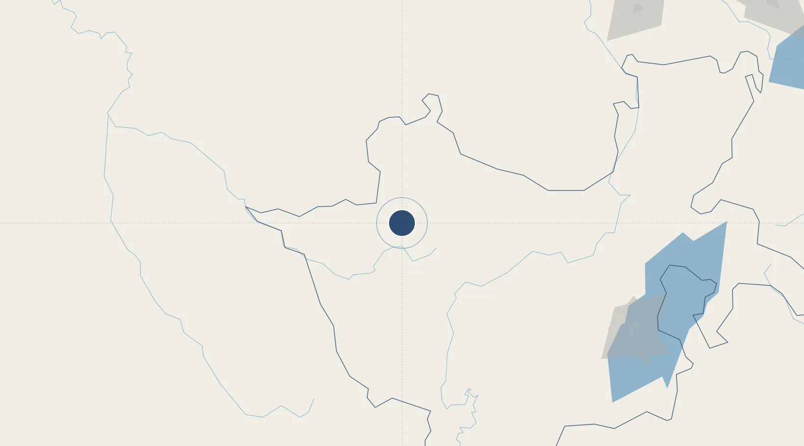
Location
Nearby Logistics Neighbours
Airports
- 1Tippi Airport31 km
- 2Jimma Airport160 km
- 3Gambela Airport170 km
- 4Baco Airport174 km
- 5Dembidollo Airport193 km
Cities
- 1Mojo433 km
- 2Mojo Dry Port433 km
- 3Moroto507 km
- 4Kembolcha624 km
- 5Galiraya696 km
Ports
- 1Doraleh975 km
- 2Djibouti979 km
- 3Assab1035 km
- 4Mitsiwa Harbor1053 km
- 5Al Mukha1099 km
Trade Zones
DatabookThe Record of Consolidated Knowledge
Ethiopia beyond logistics?