UN/LOCODE hub · Comoros
KMMUT

Mutsamudu, Anjouan

-12.1500°, 44.3833°
2
Transport functions

Transport Functions

Port
Road
Mutsamudu, Anjouan is also a profiled seaport →
UN/LOCODE

Hub Profile

Region
A
GeoNames

Location

Location of KMMUT
Natural Earth 10m (public domain) · A · KMMUT · -12.15, 44.38GoogleOSMYandex

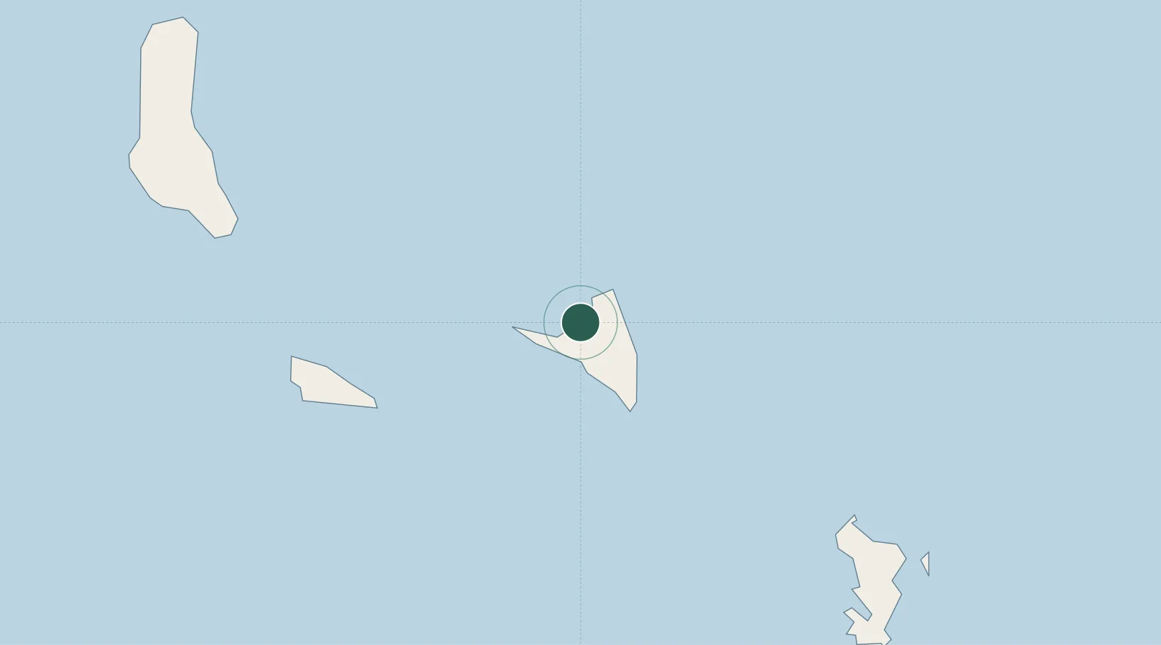
Nearby Logistics Neighbours

Cities
  1. 1Anjouan Apt12 km
  2. 2Longoni106 km
  3. 3Mamoudzou116 km
  4. 4Kani-Kéli118 km
  5. 5Bandrele119 km
Nearest neighbours — logibook spatial index (haversine) over the source coordinates
Ports
  1. 1Fomboni70 km
  2. 2Dzaoudzi118 km
  3. 3Moroni133 km
  4. 4Ibo410 km
  5. 5Pemba431 km
Nearest neighbours — logibook spatial index (haversine) over the source coordinates
Airports
  1. 1Ouani Airport6 km
  2. 2Mohéli Bandar Es Eslam Airport69 km
  3. 3Dzaoudzi Pamandzi International Airport122 km
  4. 4Prince Said Ibrahim International Airport139 km
  5. 5Pemba Airport429 km
Nearest neighbours — logibook spatial index (haversine) over the source coordinates
Trade Zones
  1. 1Nacala Special Economic Zone & Airport City476 km
  2. 2Minheuene Industrial Free Zone483 km
  3. 3Locone Industrial Free Zone485 km
  4. 4Crusse & Jamali Special Economic Zone486 km
  5. 5Mtwara Special Economic Zone502 km
Nearest neighbours — logibook spatial index (haversine) over the source coordinates
DatabookThe Record of Consolidated Knowledge
Comoros beyond logistics?
Browse databook

All Sources

LocationsUN/LOCODE
UN/LOCODE — free
Portsthe NGA World Port Index
Public domain (US gov)
AirportsOurAirports
Public domain
Trade Zonesthe World Bank SEZ database
CC BY 4.0
Trade ZonesOpen Zone Map
CC BY
← Comoros locations