Transport Functions
Port
Road
Airport
Hub Profile
Region
A
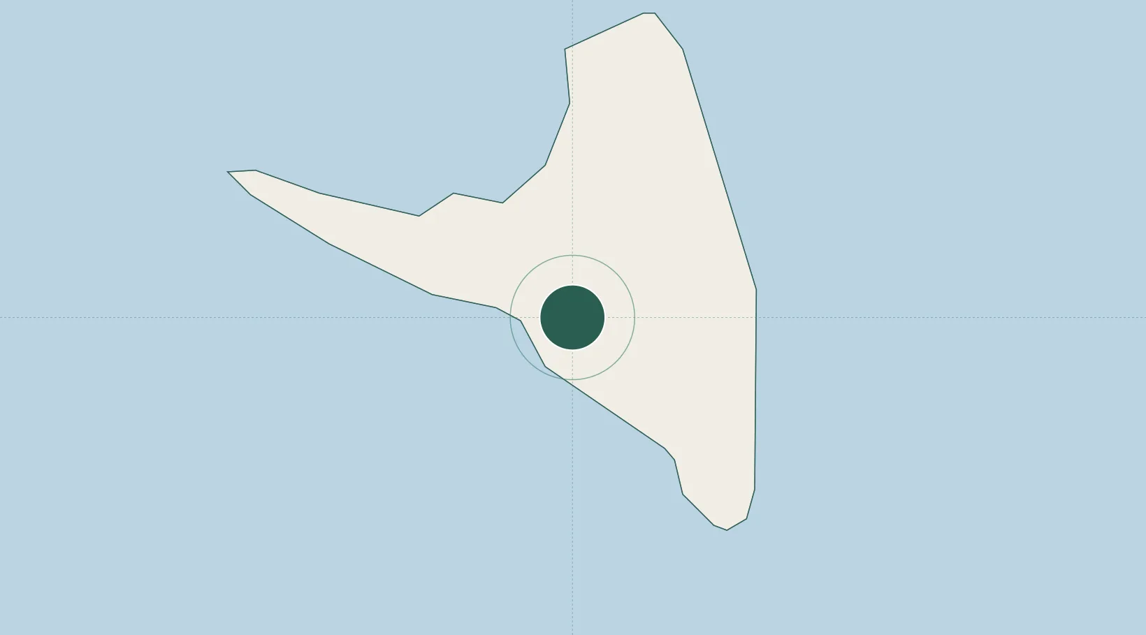
Location
Nearby Logistics Neighbours
Cities
- 1Mutsamudu, Anjouan12 km
- 2Longoni97 km
- 3Mamoudzou107 km
- 4Kani-Kéli108 km
- 5Bandrele109 km
Ports
- 1Moutsamoudu11 km
- 2Fomboni73 km
- 3Dzaoudzi108 km
- 4Moroni141 km
- 5Ibo413 km
Airports
Trade Zones
DatabookThe Record of Consolidated Knowledge
Comoros beyond logistics?