Specialized Zone · Tanzania

Mtwara Special Economic Zone Under Development
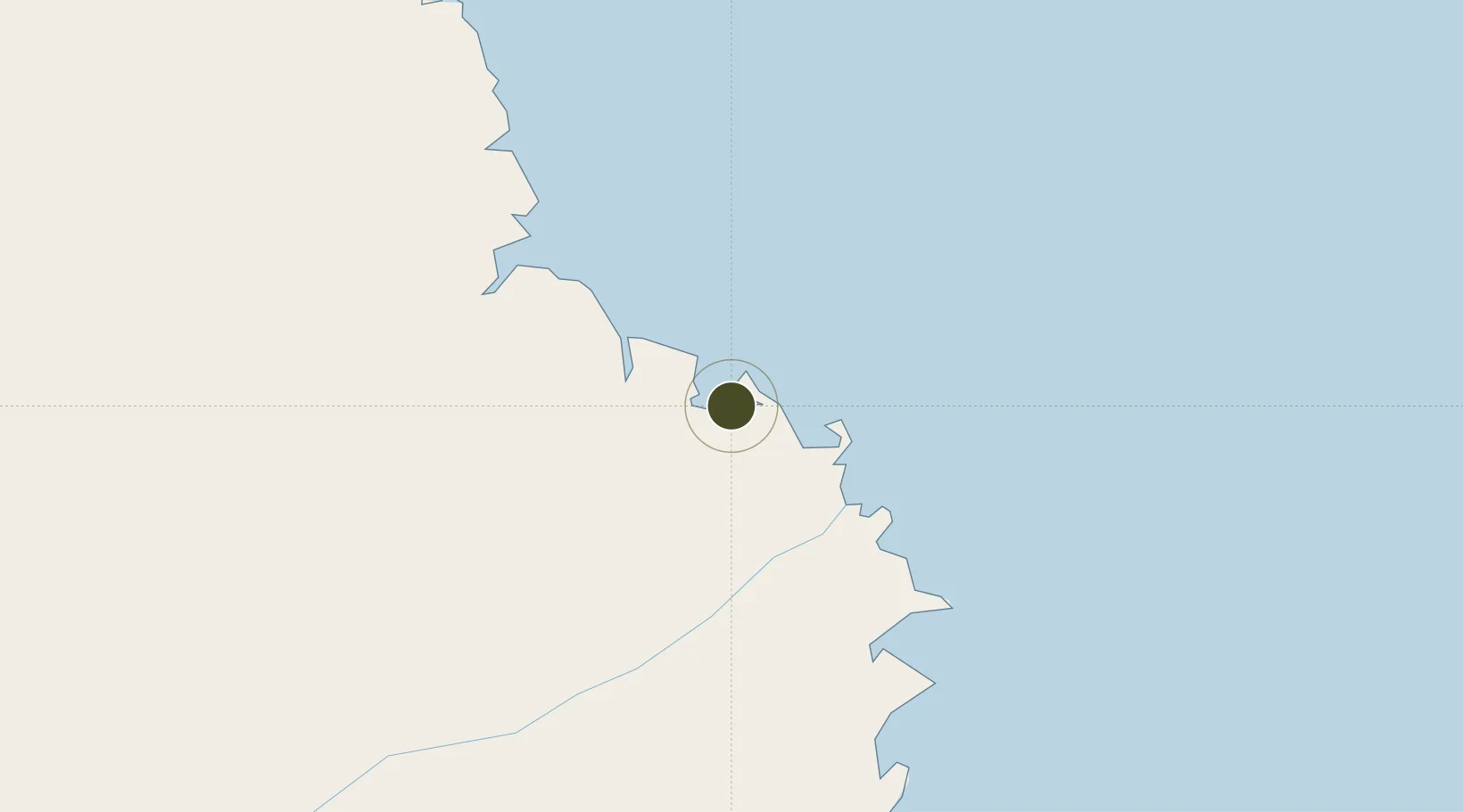
-10.2720°, 40.2019°
2,000 ha
Zone area
0.6 km
Nearest port
7.5 km
Nearest airport

Gateway access

Nearest neighbours — logibook spatial index (haversine) over the source coordinates

Zone profile

Zone type
Specialized Zone
Open Zone Map
Specialization
Agriculture
Open Zone Map
Region
Mtwara
Open Zone Map
Status
Under Development
Open Zone Map
Management
Public
Open Zone Map
Operator
Export Processing Zone Authority
Open Zone Map
Legal framework
Special Economic Zones Act of 2006
Open Zone Map

Location

Location of ozm-4431
Natural Earth 10m (public domain) · Mtwara · ozm-4431 · -10.27, 40.20GoogleOSMYandex

Nearby Logistics Neighbours

Ports
  1. 1Mtwara1 km
  2. 2Mikindani8 km
  3. 3Kilwa Kivinje192 km
  4. 4Ibo234 km
  5. 5Pemba301 km
Nearest neighbours — logibook spatial index (haversine) over the source coordinates
Airports
  1. 1Mtwara Airport8 km
  2. 2Mocímboa da Praia Airport122 km
  3. 3Mueda Airport171 km
  4. 4Mafia Airport268 km
  5. 5Pemba Airport305 km
Nearest neighbours — logibook spatial index (haversine) over the source coordinates
Cities
  1. 1Mtwara1 km
  2. 2Mocímboa da Praia119 km
  3. 3Ikwiriri286 km
  4. 4Zambezia297 km
  5. 5Dar es Salaam396 km
Nearest neighbours — logibook spatial index (haversine) over the source coordinates
Trade Zones
  1. 1Mkiu Industrial Park370 km
  2. 2Global Industrial Park Export Processing Zone375 km
  3. 3Visegese Industrial Park393 km
  4. 4Tungi Special Economic Zone394 km
  5. 5Vigor Special Economic Zone394 km
Nearest neighbours — logibook spatial index (haversine) over the source coordinates
DatabookThe Record of Consolidated Knowledge
Tanzania beyond logistics?
Browse databook

All Sources

Trade ZonesOpen Zone Map
CC BY
Portsthe NGA World Port Index
Public domain (US gov)
AirportsOurAirports
Public domain
LocationsUN/LOCODE
UN/LOCODE — free
← Tanzania trade zones