Medium airport · Russia

Kaliningrad Chkalovsk Naval Air BaseRU-0028
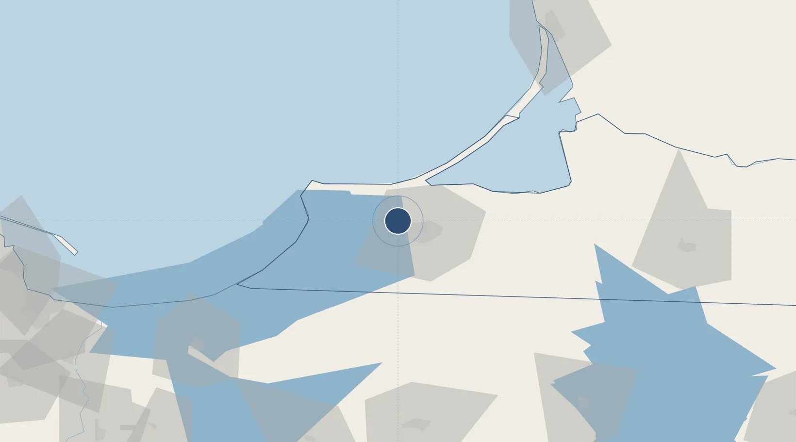
54.7666°, 20.3968°
9,841 ft
Longest runway
1
Runways
164 ft
Elevation

Runway & Layout

Kaliningrad Chkalovsk Naval Air Base runway & taxiway layout
Runway & taxiway layout — OpenStreetMap (ODbL) / OurAirports

Runways · 1

RunwayDimensions SurfaceTrue headingLit
09/27 9,841 × 197ft Concrete
OurAirports

Airport Specifications

Airport class
Medium airport
OurAirports
Scheduled service
No
OurAirports
Runway surface
Concrete
OurAirports
Served city
Kaliningrad
OurAirports

Location

Location of RU-0028
Natural Earth 10m (public domain) · Kaliningrad · RU-0028 · 54.77, 20.40GoogleOSMYandex

Nearby Logistics Neighbours

Airports
  1. 1Khrabrovo Airport19 km
  2. 2Chernyakhovsk Naval Air Base91 km
  3. 3Malbork Królewo Air Base116 km
  4. 4Gdańsk Lech Wałęsa Airport132 km
  5. 5Palanga International Airport141 km
Nearest neighbours — logibook spatial index (haversine) over the source coordinates
Cities
  1. 1Svetlyy10 km
  2. 2Kaliningrad20 km
  3. 3Pionerskiy23 km
  4. 4Mamonovo46 km
  5. 5Braniewo57 km
Nearest neighbours — logibook spatial index (haversine) over the source coordinates
Ports
  1. 1Kaliningrad9 km
  2. 2Baltiysk35 km
  3. 3Klaipeda115 km
  4. 4Nowy Port118 km
  5. 5Gdansk121 km
Nearest neighbours — logibook spatial index (haversine) over the source coordinates
Trade Zones
  1. 1Klaipėda Free Economic Zone85 km
  2. 2Warmian-Masurian SEZ (Warmińsko-Mazurska SSE)111 km
  3. 3Gdansk Port Duty Free Zone119 km
  4. 4Pomeranian SEZ (Pomorska SSE)154 km
  5. 5Liepāja SEZ175 km
Nearest neighbours — logibook spatial index (haversine) over the source coordinates
DatabookThe Record of Consolidated Knowledge
Russia beyond logistics?
Browse databook

All Sources

AirportsOurAirports
Public domain
Portsthe NGA World Port Index
Public domain (US gov)
LocationsUN/LOCODE
UN/LOCODE — free
Trade Zonesthe World Bank SEZ database
CC BY 4.0
Trade ZonesOpen Zone Map
CC BY
InfrastructureOpenStreetMap
ODbL 1.0
← Russia airports