Medium airport · Denmark
Midtjyllands Airport / Air Base KarupEKKA
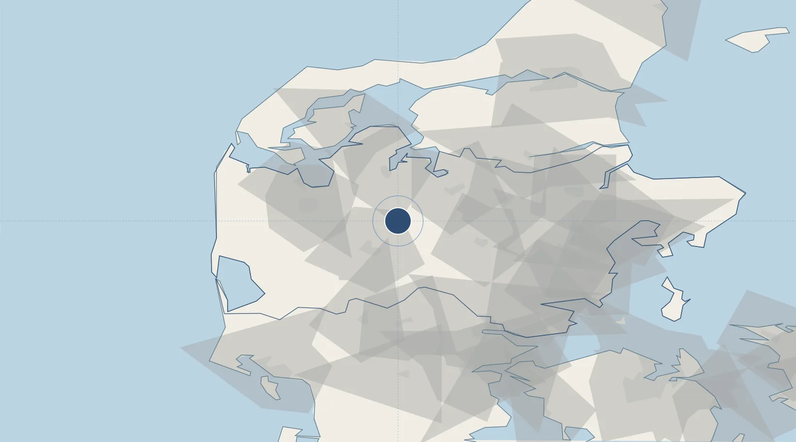
56.2971°, 9.1043°
9,816 ft
Longest runway
5
Runways
170 ft
Elevation
Runway & Layout

Radio Frequencies
TWR
119.575 MHz
APP
120.425 MHz
MISC
123.4 MHz
HANDLING
Navaids
KA NDB Karup 369 kHz
KAR TACAN Karup 110.00 MHz
Runways · 5
| Runway | Dimensions | Surface | True heading | Lit |
|---|---|---|---|---|
| 09L/27R | 9,816 × 75ft | Asphalt | 089° | ✓ |
| 09R/27L | 9,607 × 150ft | Asphalt / concrete | 089° | ✓ |
| 03/21 | 2,818 × 50ft | Asphalt / concrete | 034° | ✓ |
| 09/27 | 2,789 × 197ft | Grass | 090° | — |
| 14/32 | 2,296 × 60ft | Asphalt / concrete | 134° | ✓ |
Airport Specifications
IATA code
KRP
ICAO code
EKKA
Airport class
Medium airport
Scheduled service
Yes
Runway surface
Asphalt
Served city
Karup
Location
Nearby Logistics Neighbours
Airports
- 1Skive Airport29 km
- 2Stauning Vestjylland Airport58 km
- 3Billund Airport62 km
- 4Aarhus Seaplane Terminal73 km
- 5Thisted Airport89 km
Cities
- 1Rødkærsbro26 km
- 2Hampen35 km
- 3Tjele38 km
- 4Kleppen41 km
- 5Nørre Snede42 km
Ports
- 1Holstebro-Stuer39 km
- 2Hobro57 km
- 3Ringkobing58 km
- 4Lemvig60 km
- 5Randers61 km
Trade Zones
DatabookThe Record of Consolidated Knowledge
Denmark beyond logistics?