Transport Functions
Port
Multimodal
Hub Profile
Place type
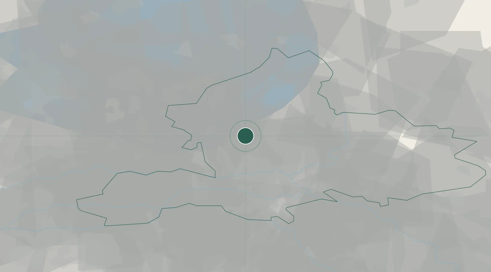
Populated place
Region
Gelderland
Population
3,450
Time zone
Europe/Amsterdam
Elevation
25 m
Location
Nearby Logistics Neighbours
Airports
- 1Deelen Air Base12 km
- 2Lelystad Airport39 km
- 3Volkel Air Base53 km
- 4Weeze (Niederrhein) Airport65 km
- 5Amsterdam Airport Schiphol70 km
Trade Zones
- 1Freeport of Duisburg96 km
- 2Rheinische Revier SWZ143 km
- 3Freeport of Emden165 km
- 4Freeport of Bremerhaven (Freihafen Bremerhaven)230 km
- 5ZFU Tourcoing238 km
DatabookThe Record of Consolidated Knowledge
Netherlands beyond logistics?