UN/LOCODE hub · United Kingdom
GBWL2
Willingham
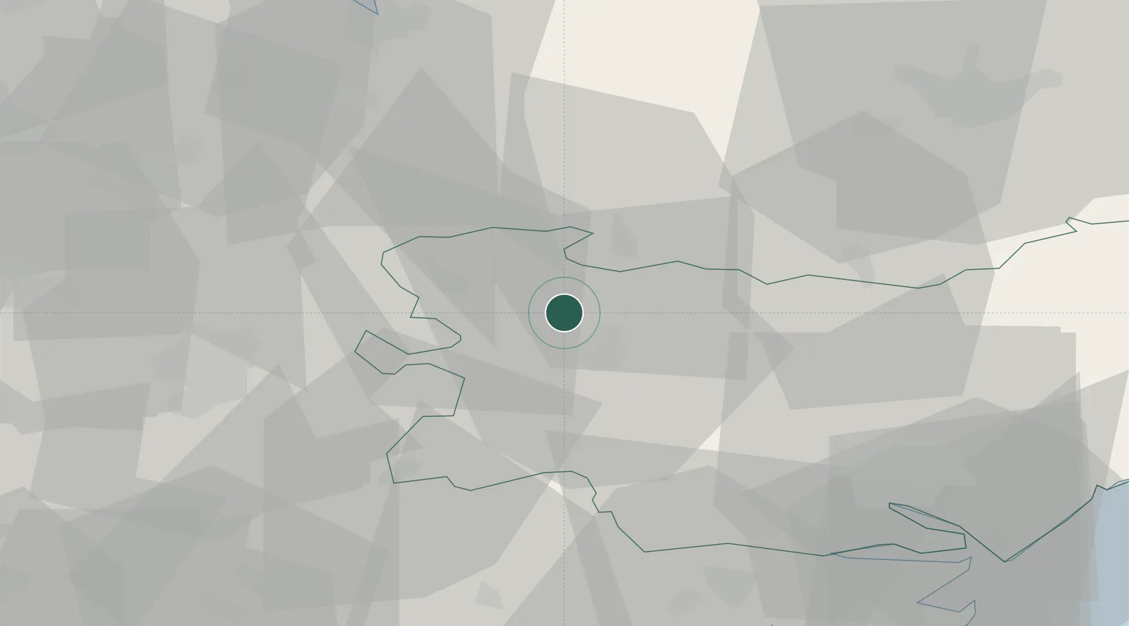
52.3167°, 0.6667°
4,015
Population
2
Transport functions
Transport Functions
Port
Road
Hub Profile
Place type
Populated place
Region
England
Population
4,015
Time zone
Europe/London
Elevation
9 m
Location
Nearby Logistics Neighbours
Cities
- 1Ingham3 km
- 2Cavenham6 km
- 3Kentford13 km
- 4Elmswell18 km
- 5Dullingham23 km
Ports
- 1Ipswich45 km
- 2Colchester51 km
- 3King's Lynn51 km
- 4Wisbech52 km
- 5Harwich59 km
Airports
- 1RAF Honington8 km
- 2RAF Lakenheath13 km
- 3RAF Mildenhall13 km
- 4Wattisham Airfield29 km
- 5Cambridge City Airport36 km
Trade Zones
DatabookThe Record of Consolidated Knowledge
United Kingdom beyond logistics?