Free Trade Zone · United Kingdom

Port of Sheerness Free Zone Inactive
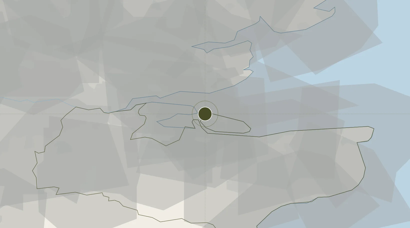
51.4434°, 0.7536°
114 ha
Zone area
0.8 km
Nearest port
14.7 km
Nearest airport

Gateway access

Nearest neighbours — logibook spatial index (haversine) over the source coordinates

Zone profile

Zone type
Free Trade Zone
Open Zone Map
Region
Kent
Open Zone Map
Status
Inactive
Open Zone Map
Management
Public-Private Partnership
Open Zone Map
Operator
Port of Sheerness Limited
Open Zone Map
Legal framework
Control Type II Free Zone - 2004/2742 Free Port Designation for Port of Sheerness
Open Zone Map

Location

Location of ozm-4714
Natural Earth 10m (public domain) · Kent · ozm-4714 · 51.44, 0.75GoogleOSMYandex

Nearby Logistics Neighbours

Ports
  1. 1Sheerness1 km
  2. 2Isle Of Grain4 km
  3. 3Thamesport4 km
  4. 4Chatham Docks15 km
  5. 5Whitstable21 km
Nearest neighbours — logibook spatial index (haversine) over the source coordinates
Airports
  1. 1London Southend Airport15 km
  2. 2London City Airport49 km
  3. 3London Biggin Hill Airport52 km
  4. 4Lydd London Ashford Airport56 km
  5. 5London Stansted Airport61 km
Nearest neighbours — logibook spatial index (haversine) over the source coordinates
Cities
  1. 1Isle of Grain4 km
  2. 2Isle of Sheppey7 km
  3. 3North Woolwich9 km
  4. 4Eastchurch9 km
  5. 5Southend-on-Sea11 km
Nearest neighbours — logibook spatial index (haversine) over the source coordinates
Trade Zones
  1. 1Port of Tilbury Free Zone28 km
  2. 2Discovery Park - Sandwich Enterprise Zone44 km
  3. 3London Royal Docks Enterprise Zone52 km
  4. 4Harlow Enterprise Zone58 km
  5. 5New Anglia Enterprise Zone90 km
Nearest neighbours — logibook spatial index (haversine) over the source coordinates
DatabookThe Record of Consolidated Knowledge
United Kingdom beyond logistics?
Browse databook

All Sources

Trade ZonesOpen Zone Map
CC BY
Portsthe NGA World Port Index
Public domain (US gov)
AirportsOurAirports
Public domain
LocationsUN/LOCODE
UN/LOCODE — free
← United Kingdom trade zones