Transport Functions
Port
Hub Profile
Place type
Populated place
Region
England
Population
3,950
Time zone
Europe/London
Elevation
70 m
Logistics facilities
1
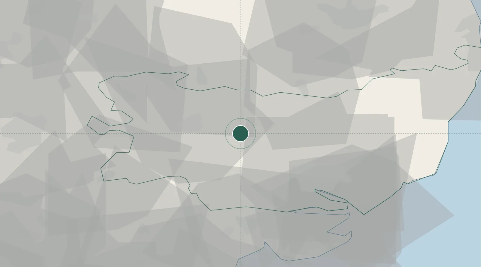
Location
Nearby Logistics Neighbours
Cities
- 1Needham Market14 km
- 2Wetheringsett15 km
- 3Ingham16 km
- 4Lavenham16 km
- 5Willingham18 km
Ports
- 1Ipswich27 km
- 2Colchester38 km
- 3Harwich41 km
- 4Felixstowe42 km
- 5Lowestoft65 km
Airports
- 1Wattisham Airfield12 km
- 2RAF Honington15 km
- 3RAF Lakenheath30 km
- 4RAF Mildenhall32 km
- 5Cambridge City Airport49 km
Trade Zones
DatabookThe Record of Consolidated Knowledge
United Kingdom beyond logistics?