Medium airport · United Kingdom

Wattisham AirfieldEGUW
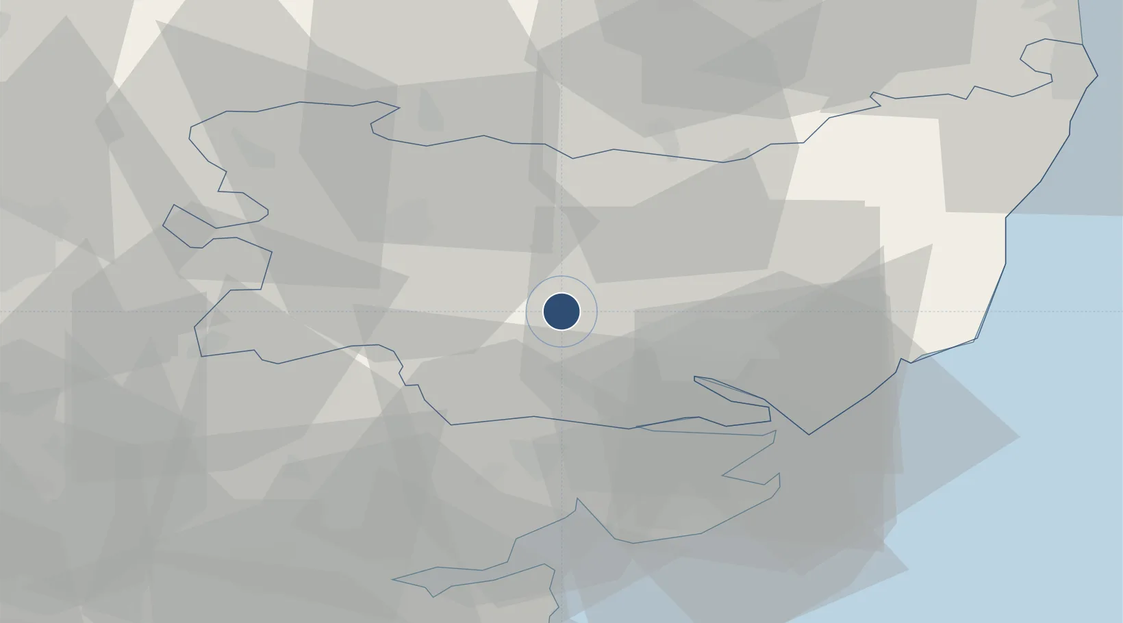
52.1275°, 0.9562°
7,953 ft
Longest runway
1
Runways
284 ft
Elevation

Runway & Layout

Wattisham Airfield runway & taxiway layout
Runway & taxiway layout — OpenStreetMap (ODbL) / OurAirports

Radio Frequencies

TWR
122.1 MHz
APP
123.3 MHz
A/G
125.8 MHz
AIR GND
DIR
123.3 MHz
DIRECTOR
OurAirports

Navaids

WTZ TACAN Wattisham 109.30 MHz
OurAirports

Runways · 1

RunwayDimensions SurfaceTrue headingLit
05/23 7,953 × 151ft Asphalt 048°
OurAirports

Airport Specifications

ICAO code
EGUW
OurAirports
Airport class
Medium airport
OurAirports
Scheduled service
No
OurAirports
Runway surface
Asphalt
OurAirports
Served city
Ipswich, Suffolk
OurAirports

Location

Location of EGUW
Natural Earth 10m (public domain) · Suffolk · EGUW · 52.13, 0.96GoogleOSMYandex

Nearby Logistics Neighbours

Airports
  1. 1RAF Honington27 km
  2. 2RAF Mildenhall41 km
  3. 3RAF Lakenheath41 km
  4. 4Cambridge City Airport54 km
  5. 5London Stansted Airport56 km
Nearest neighbours — logibook spatial index (haversine) over the source coordinates
Cities
  1. 1Needham Market7 km
  2. 2Lavenham11 km
  3. 3Elmswell12 km
  4. 4Ashbocking15 km
  5. 5Wetheringsett18 km
Nearest neighbours — logibook spatial index (haversine) over the source coordinates
Ports
  1. 1Ipswich17 km
  2. 2Colchester27 km
  3. 3Harwich30 km
  4. 4Felixstowe32 km
  5. 5Lowestoft67 km
Nearest neighbours — logibook spatial index (haversine) over the source coordinates
Trade Zones
  1. 1New Anglia Enterprise Zone34 km
  2. 2Cambridge Compass Enterprise Zone56 km
  3. 3Harlow Enterprise Zone71 km
  4. 4Port of Sheerness Free Zone77 km
  5. 5Port of Tilbury Free Zone85 km
Nearest neighbours — logibook spatial index (haversine) over the source coordinates
DatabookThe Record of Consolidated Knowledge
United Kingdom beyond logistics?
Browse databook

All Sources

AirportsOurAirports
Public domain
Portsthe NGA World Port Index
Public domain (US gov)
LocationsUN/LOCODE
UN/LOCODE — free
Trade Zonesthe World Bank SEZ database
CC BY 4.0
Trade ZonesOpen Zone Map
CC BY
InfrastructureOpenStreetMap
ODbL 1.0
← United Kingdom airports