Transport Functions
Road
Multimodal
Hub Profile
Place type
Populated place
Region
England
Time zone
Europe/London
Elevation
50 m
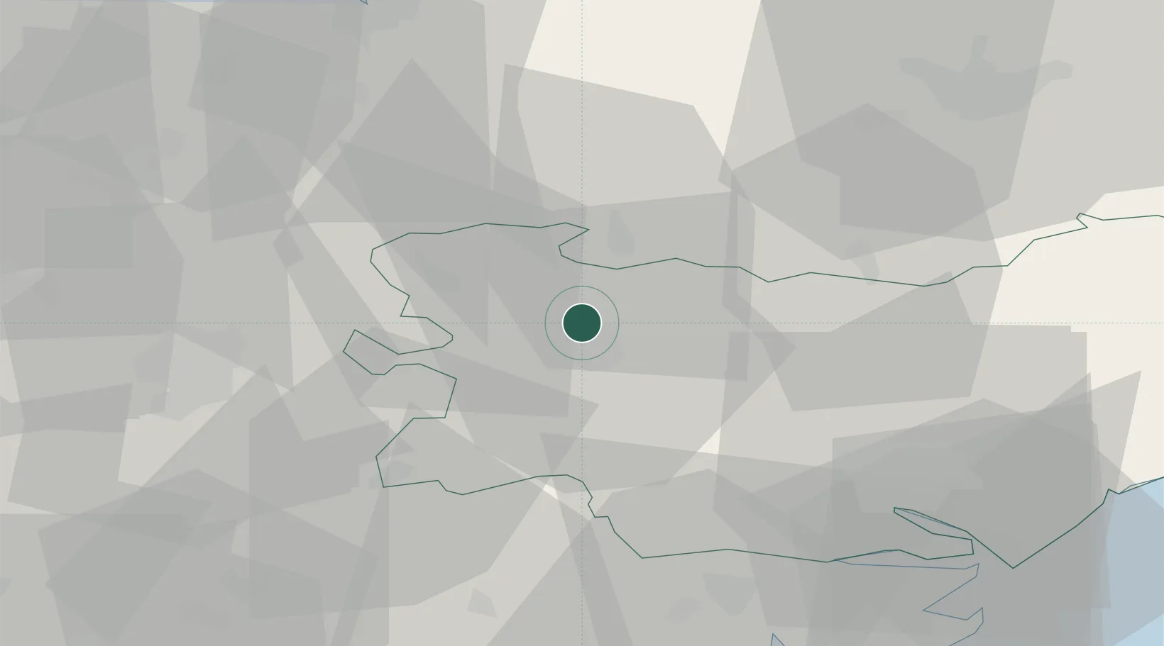
Location
Nearby Logistics Neighbours
Cities
- 1Willingham3 km
- 2Cavenham8 km
- 3Kentford14 km
- 4Elmswell16 km
- 5Stanstead22 km
Ports
- 1Ipswich42 km
- 2Colchester49 km
- 3King's Lynn54 km
- 4Wisbech55 km
- 5Harwich56 km
Airports
- 1RAF Honington7 km
- 2RAF Lakenheath15 km
- 3RAF Mildenhall16 km
- 4Wattisham Airfield26 km
- 5Cambridge City Airport37 km
Trade Zones
DatabookThe Record of Consolidated Knowledge
United Kingdom beyond logistics?