Transport Functions
Multimodal
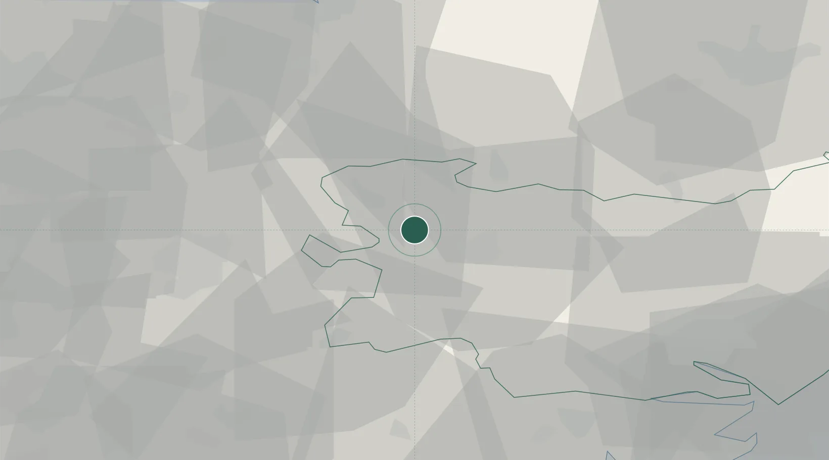
Hub Profile
Place type
Populated place
Region
England
Population
136
Time zone
Europe/London
Elevation
23 m
Location
Nearby Logistics Neighbours
Cities
- 1Willingham6 km
- 2Kentford7 km
- 3Ingham8 km
- 4Dullingham18 km
- 5Elmswell23 km
Ports
- 1Ipswich49 km
- 2Wisbech50 km
- 3King's Lynn52 km
- 4Colchester52 km
- 5Harwich62 km
Airports
- 1RAF Mildenhall10 km
- 2RAF Lakenheath12 km
- 3RAF Honington14 km
- 4Cambridge City Airport30 km
- 5Wattisham Airfield32 km
Trade Zones
DatabookThe Record of Consolidated Knowledge
United Kingdom beyond logistics?