Transport Functions
Multimodal
Hub Profile
Place type
Populated place
Region
England
Time zone
Europe/London
Elevation
31 m
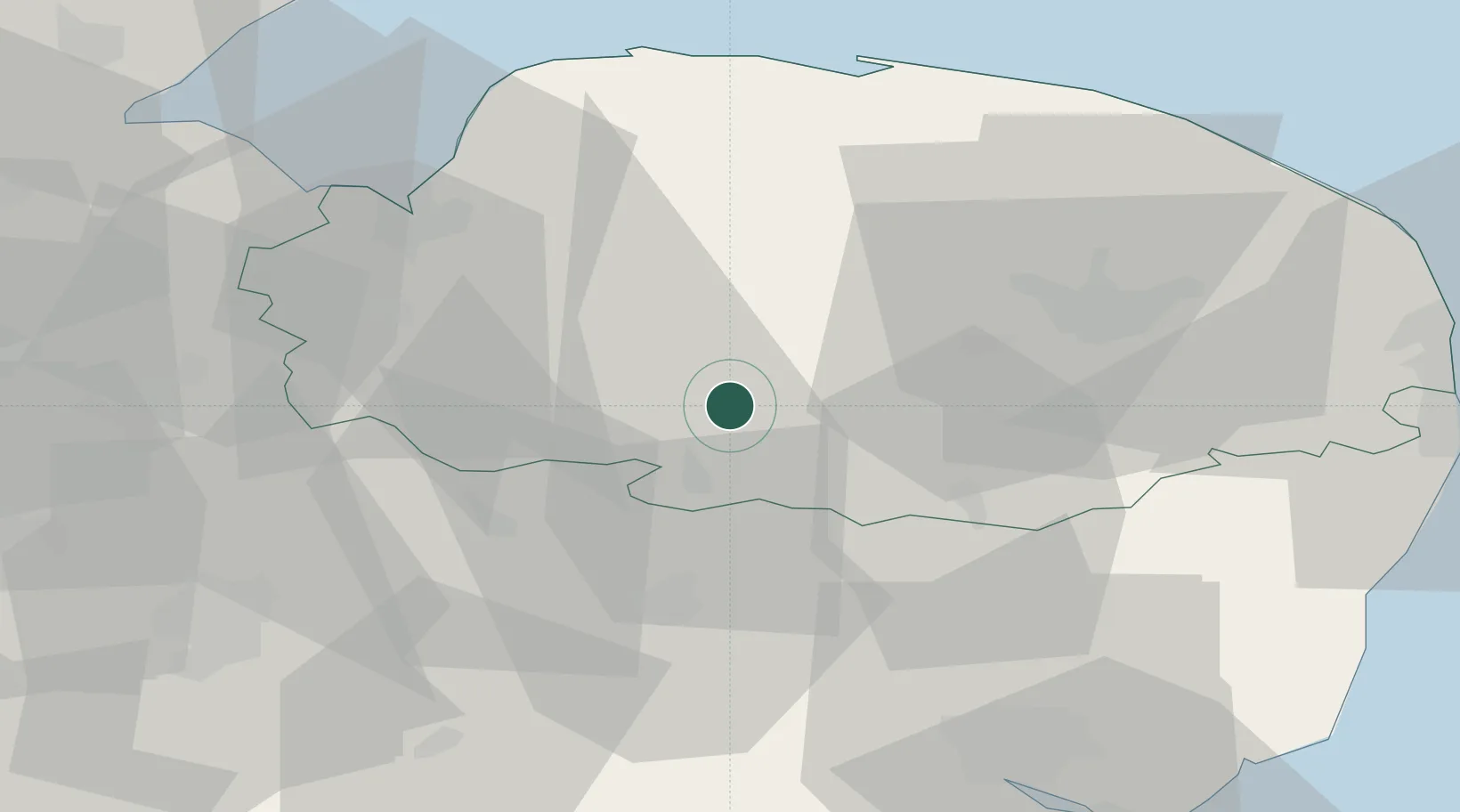
Location
Nearby Logistics Neighbours
Cities
- 1Thorrington20 km
- 2Dereham21 km
- 3Willingham24 km
- 4Ingham25 km
- 5Cavenham28 km
Ports
- 1King's Lynn37 km
- 2Wisbech47 km
- 3Ipswich58 km
- 4Great Yarmouth64 km
- 5Lowestoft64 km
Airports
- 1RAF Honington19 km
- 2RAF Lakenheath20 km
- 3RAF Marham22 km
- 4RAF Mildenhall27 km
- 5Norwich Airport37 km
Trade Zones
DatabookThe Record of Consolidated Knowledge
United Kingdom beyond logistics?