UN/LOCODE hub · United Kingdom
GBZBQ
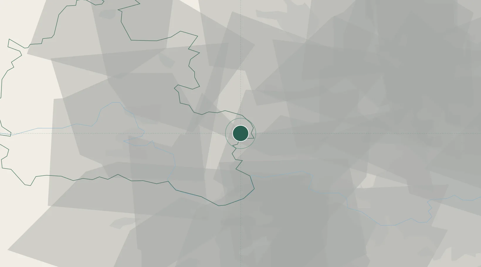
Kingston Blount
51.6833°, -0.9167°
506
Population
1
Transport functions
Transport Functions
Multimodal
Hub Profile
Place type
Populated place
Region
England
Population
506
Time zone
Europe/London
Elevation
121 m
Location
Nearby Logistics Neighbours
Cities
- 1Chinnor1 km
- 2Haddenham9 km
- 3Stoke Newington14 km
- 4Loudwater19 km
- 5Twyford23 km
Ports
- 1London61 km
- 2Tilbury90 km
- 3Gravesend92 km
- 4Southampton93 km
- 5Portsmouth Harbour99 km
Airports
- 1RAF Benson15 km
- 2London Oxford Airport33 km
- 3RAF Northolt37 km
- 4London Heathrow Airport39 km
- 5Blackbushe Airport40 km
DatabookThe Record of Consolidated Knowledge
United Kingdom beyond logistics?