Transport Functions
Multimodal
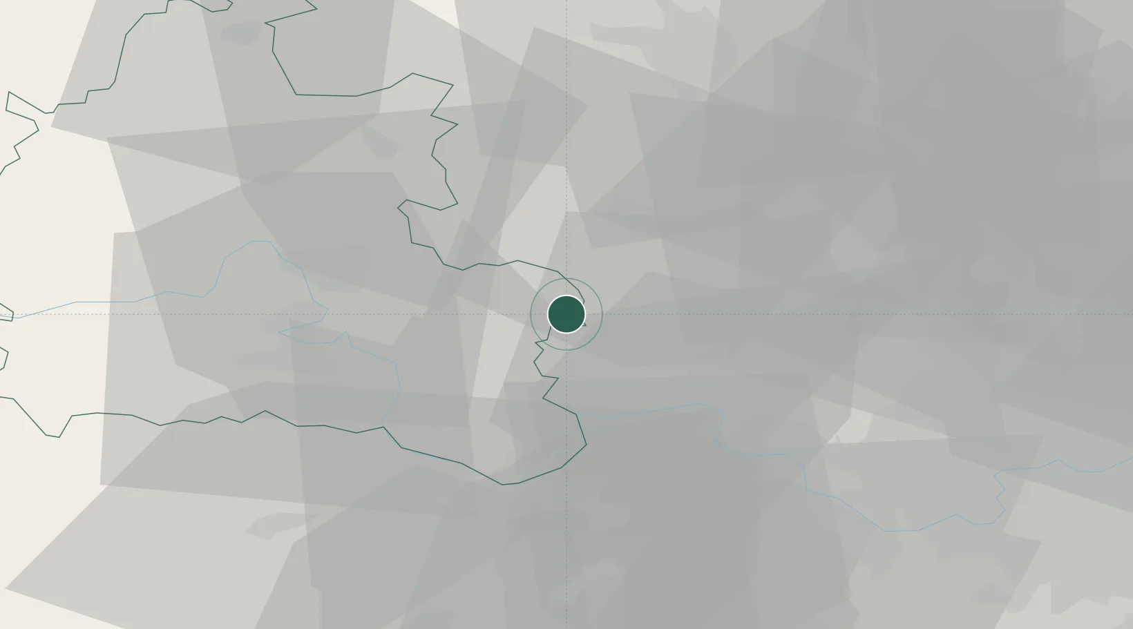
Hub Profile
Place type
Populated place
Region
England
Population
5,473
Time zone
Europe/London
Elevation
120 m
Location
Nearby Logistics Neighbours
Cities
- 1Kingston Blount1 km
- 2Haddenham9 km
- 3Stoke Newington14 km
- 4Loudwater18 km
- 5Twyford22 km
Ports
- 1London60 km
- 2Tilbury89 km
- 3Gravesend91 km
- 4Southampton94 km
- 5Portsmouth Harbour99 km
Airports
- 1RAF Benson16 km
- 2London Oxford Airport34 km
- 3RAF Northolt36 km
- 4London Heathrow Airport39 km
- 5Blackbushe Airport40 km
DatabookThe Record of Consolidated Knowledge
United Kingdom beyond logistics?