Transport Functions
Multimodal
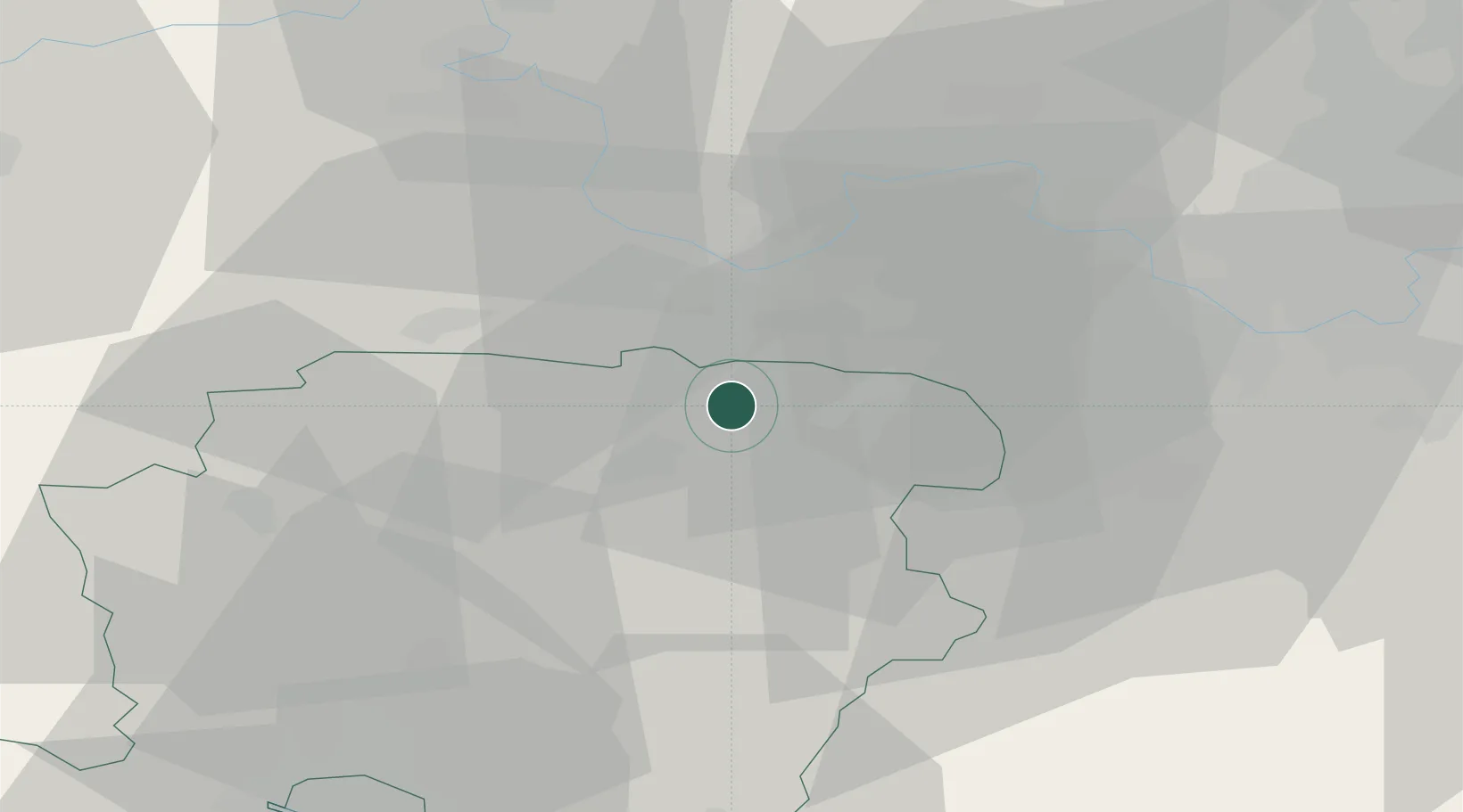
Hub Profile
Place type
Populated place
Region
England
Population
14,966
Time zone
Europe/London
Elevation
109 m
Location
Nearby Logistics Neighbours
Ports
- 1Southampton54 km
- 2Portsmouth Harbour58 km
- 3Fawley Marine Terminal60 km
- 4Cowes Harbour65 km
- 5London67 km
Airports
- 1RAF Odiham10 km
- 2Blackbushe Airport11 km
- 3Lasham Airfield15 km
- 4Farnborough Airport16 km
- 5RAF Benson34 km
Trade Zones
DatabookThe Record of Consolidated Knowledge
United Kingdom beyond logistics?