UN/LOCODE hub · Germany
DEECN

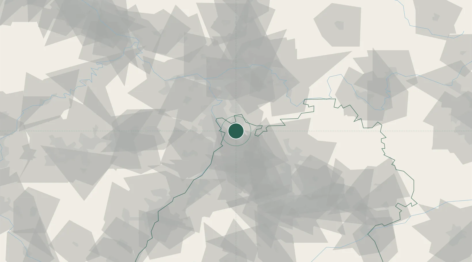
Edingen-Neckarhausen

49.4500°, 8.6167°
14,009
Population
1
Transport functions

Transport Functions

Multimodal
UN/LOCODE

Hub Profile

Place type
Local administrative seat
GeoNames
Region
Baden-Wurttemberg
GeoNames
Population
14,009
GeoNames
Time zone
Europe/Berlin
GeoNames
Elevation
105 m
GeoNames

Location

Location of DEECN
Natural Earth 10m (public domain) · Baden-Wurttemberg · DEECN · 49.45, 8.62GoogleOSMYandex

Nearby Logistics Neighbours

Cities
  1. 1Edingen2 km
  2. 2Leutershausen4 km
  3. 3Hirschberg6 km
  4. 4Heidelberg7 km
  5. 5Oftersheim10 km
Nearest neighbours — logibook spatial index (haversine) over the source coordinates
Ports
  1. 1Bruxelles342 km
  2. 2Antwerpen358 km
  3. 3Dordrecht384 km
  4. 4Hansweert395 km
  5. 5Rotterdam399 km
Nearest neighbours — logibook spatial index (haversine) over the source coordinates
Airports
  1. 1Mannheim-City Airport8 km
  2. 2Frankfurt-Egelsbach Airport57 km
  3. 3Frankfurt Main Airport64 km
  4. 4Mainz-Finthen Airfield67 km
  5. 5Wiesbaden Army Airfield70 km
Nearest neighbours — logibook spatial index (haversine) over the source coordinates
Trade Zones
  1. 1ZFU Hautepierre117 km
  2. 2ZFU Neuhof119 km
  3. 3ZFU La Cité Behren-lès-Forbach126 km
  4. 4Luxembourg Free Port174 km
  5. 5ZFU Woippy-Metz182 km
Nearest neighbours — logibook spatial index (haversine) over the source coordinates
DatabookThe Record of Consolidated Knowledge
Germany beyond logistics?
Browse databook

All Sources

LocationsUN/LOCODE
UN/LOCODE — free
LocationsGeoNames
CC BY 4.0
Portsthe NGA World Port Index
Public domain (US gov)
AirportsOurAirports
Public domain
Trade Zonesthe World Bank SEZ database
CC BY 4.0
Trade ZonesOpen Zone Map
CC BY
← Germany locations