Export Processing Zone · Nigeria

Ogun Guangdong Free Trade Zone Active
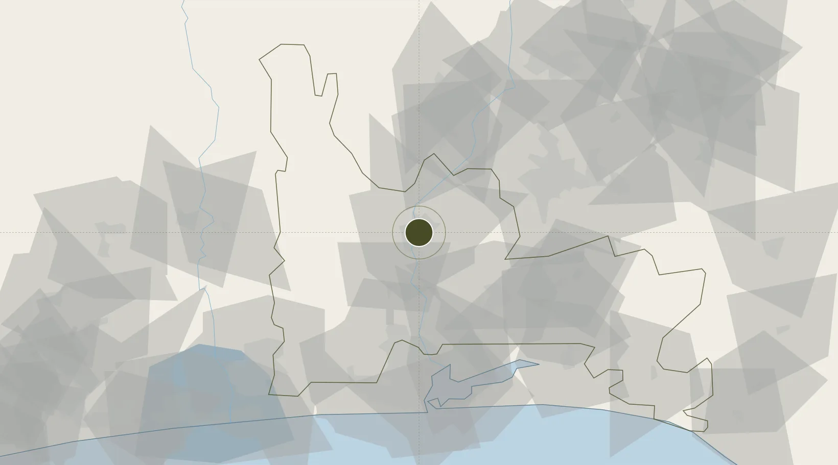
7.1603°, 3.3486°
10,000 ha
Zone area
84.7 km
Nearest port
64.9 km
Nearest airport

Gateway access

Nearest neighbours — logibook spatial index (haversine) over the source coordinates

Zone profile

Zone type
Export Processing Zone
Open Zone Map
Region
Ogun
Open Zone Map
Status
Active
Open Zone Map
Management
Public-Private Partnership
Open Zone Map
Operator
Guangdong Xinguang International Group, Ogun State Government
Open Zone Map
Legal framework
Section 10 (4) of the Nigeria Export Processing Zones Act No 63 of 1992
Open Zone Map

Location

Location of ozm-2971
Natural Earth 10m (public domain) · Ogun · ozm-2971 · 7.16, 3.35GoogleOSMYandex

Nearby Logistics Neighbours

Ports
  1. 1Lagos85 km
  2. 2Tin Can Island90 km
  3. 3Cotonou135 km
  4. 4Ukpokiti Marine Terminal228 km
  5. 5Kpeme229 km
Nearest neighbours — logibook spatial index (haversine) over the source coordinates
Airports
  1. 1Murtala Muhammed International Airport65 km
  2. 2Ibadan Airport73 km
  3. 3Cotonou Cadjehoun International Airport139 km
  4. 4General Tunde Idiagbon International Airport190 km
  5. 5Akure Airport216 km
Nearest neighbours — logibook spatial index (haversine) over the source coordinates
Cities
  1. 1Sango Otta53 km
  2. 2Ogijo54 km
  3. 3Jibowu57 km
  4. 4Aguda59 km
  5. 5Ifako59 km
Nearest neighbours — logibook spatial index (haversine) over the source coordinates
Trade Zones
  1. 1Oluyole Free Trade Zone59 km
  2. 2Quits Aviation Services Zone63 km
  3. 3Airline Services Export Processing Zone66 km
  4. 4NAHCO Free Trade Zone66 km
  5. 5Ogun Guandong Free Trade Zone72 km
Nearest neighbours — logibook spatial index (haversine) over the source coordinates
DatabookThe Record of Consolidated Knowledge
Nigeria beyond logistics?
Browse databook

All Sources

Trade ZonesOpen Zone Map
CC BY
Portsthe NGA World Port Index
Public domain (US gov)
AirportsOurAirports
Public domain
LocationsUN/LOCODE
UN/LOCODE — free
← Nigeria trade zones