Large airport · Algeria

Batna Mostefa Ben Boulaid AirportDABT
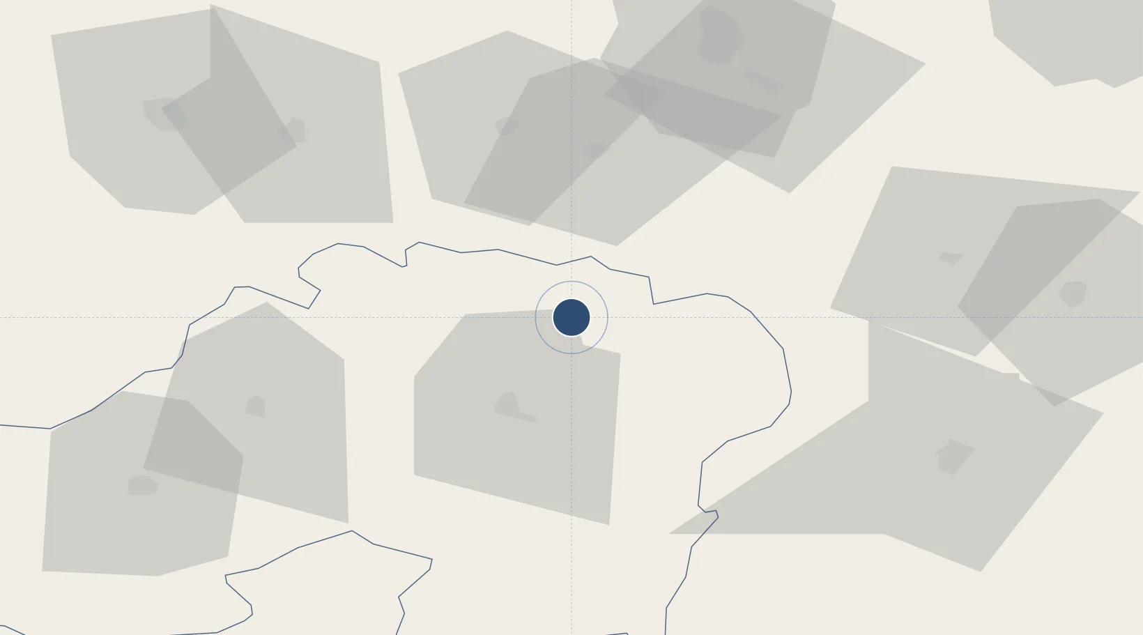
35.7521°, 6.3086°
9,843 ft
Longest runway
1
Runways
2,697 ft
Elevation

Runway & Layout

Batna Mostefa Ben Boulaid Airport runway & taxiway layout
Runway & taxiway layout — OpenStreetMap (ODbL) / OurAirports

Radio Frequencies

TWR
118.1 MHz
OurAirports

Navaids

BTN VOR-DME Batna 115.70 MHz
BTN NDB Batna 421 kHz
OurAirports

Runways · 1

RunwayDimensions SurfaceTrue headingLit
05/23 9,843 × 148ft Asphalt 055°
OurAirports

Airport Specifications

IATA code
BLJ
OurAirports
ICAO code
DABT
OurAirports
Airport class
Large airport
OurAirports
Scheduled service
Yes
OurAirports
Runway surface
Asphalt
OurAirports
Served city
Batna
OurAirports

Location

Location of DABT
Natural Earth 10m (public domain) · Batna · DABT · 35.75, 6.31GoogleOSMYandex

Nearby Logistics Neighbours

Airports
  1. 1Mohamed Boudiaf International Airport65 km
  2. 2Ain Arnat Airport100 km
  3. 3Biskra - Mohamed Khider Airport119 km
  4. 4Jijel Ferhat Abbas Airport122 km
  5. 5Soummam–Abane Ramdane Airport154 km
Nearest neighbours — logibook spatial index (haversine) over the source coordinates
Cities
  1. 1Guellal93 km
  2. 2Sétif95 km
  3. 3Kherrata124 km
  4. 4Djen-Djen125 km
  5. 5Skikda (ex Philippeville)136 km
Nearest neighbours — logibook spatial index (haversine) over the source coordinates
Ports
  1. 1Djen-Djen124 km
  2. 2Jijel129 km
  3. 3Skikda137 km
  4. 4Collo141 km
  5. 5Bejaia156 km
Nearest neighbours — logibook spatial index (haversine) over the source coordinates
Trade Zones
  1. 1Bizerte Park of Economic Activities360 km
  2. 2Free Zone of Portovesme425 km
  3. 3Zarzis Park of Economic Activities507 km
  4. 4Ben Guerdane Economic Free Zone562 km
  5. 5Sardinia Special Economic Zone Area587 km
Nearest neighbours — logibook spatial index (haversine) over the source coordinates
DatabookThe Record of Consolidated Knowledge
Algeria beyond logistics?
Browse databook

All Sources

AirportsOurAirports
Public domain
Portsthe NGA World Port Index
Public domain (US gov)
LocationsUN/LOCODE
UN/LOCODE — free
Trade Zonesthe World Bank SEZ database
CC BY 4.0
Trade ZonesOpen Zone Map
CC BY
InfrastructureOpenStreetMap
ODbL 1.0
← Algeria airports