Transport Functions
Port
Hub Profile
Logistics facilities
2
Container terminals
1
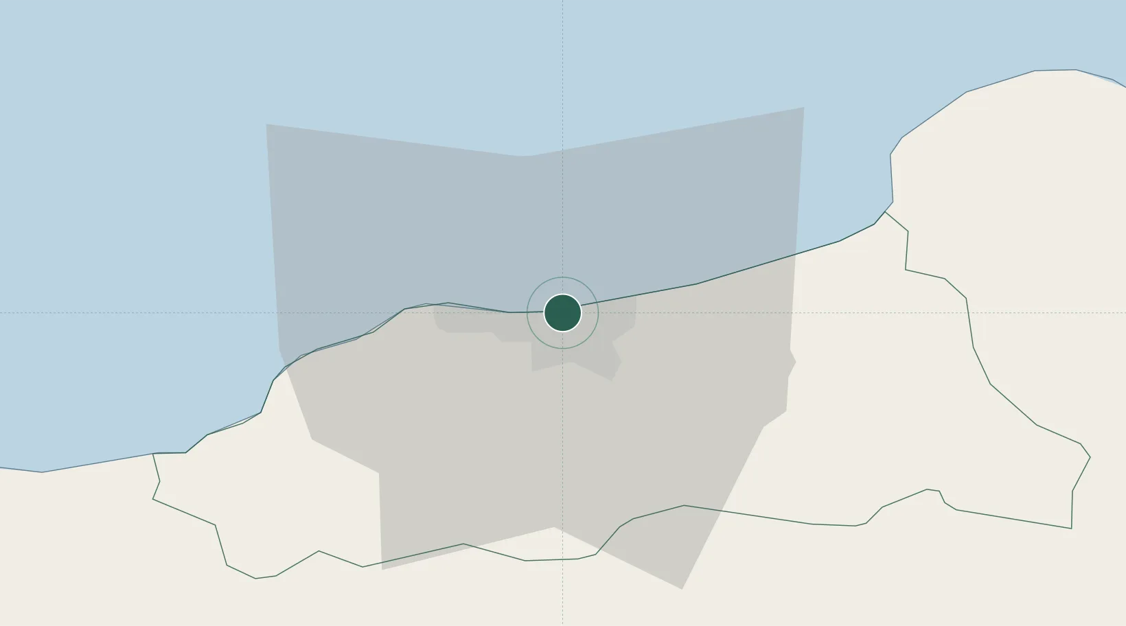
Location
Nearby Logistics Neighbours
Cities
- 1Collo63 km
- 2Kherrata67 km
- 3Bejaia (ex Bougie)72 km
- 4Sétif83 km
- 5Skikda (ex Philippeville)92 km
Airports
Trade Zones
DatabookThe Record of Consolidated Knowledge
Algeria beyond logistics?