Large airport · Algeria

Soummam–Abane Ramdane AirportDAAE
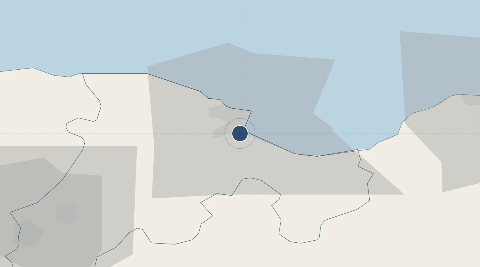
36.7125°, 5.0699°
7,874 ft
Longest runway
1
Runways
20 ft
Elevation

Runway & Layout

Soummam–Abane Ramdane Airport runway & taxiway layout
Runway & taxiway layout — OpenStreetMap (ODbL) / OurAirports

Radio Frequencies

TWR
118.9 MHz
BEJAIA TWR
OurAirports

Navaids

BJA NDB Bejaia 423 kHz
OurAirports

Runways · 1

RunwayDimensions SurfaceTrue headingLit
08/26 7,874 × 148ft Asphalt 080°
OurAirports

Airport Specifications

IATA code
BJA
OurAirports
ICAO code
DAAE
OurAirports
Airport class
Large airport
OurAirports
Scheduled service
Yes
OurAirports
Runway surface
Asphalt
OurAirports
Served city
Béjaïa
OurAirports

Location

Location of DAAE
Natural Earth 10m (public domain) · Béjaïa · DAAE · 36.71, 5.07GoogleOSMYandex

Nearby Logistics Neighbours

Airports
  1. 1Ain Arnat Airport64 km
  2. 2Jijel Ferhat Abbas Airport72 km
  3. 3Mohamed Boudiaf International Airport147 km
  4. 4Batna Mostefa Ben Boulaid Airport154 km
  5. 5Houari Boumediene Airport165 km
Nearest neighbours — logibook spatial index (haversine) over the source coordinates
Cities
  1. 1Bejaia (ex Bougie)4 km
  2. 2Kherrata31 km
  3. 3Sétif66 km
  4. 4Djen-Djen74 km
  5. 5Bordj Bou Arreridj77 km
Nearest neighbours — logibook spatial index (haversine) over the source coordinates
Ports
  1. 1Bejaia4 km
  2. 2Jijel65 km
  3. 3Djen-Djen73 km
  4. 4Dellys105 km
  5. 5Collo138 km
Nearest neighbours — logibook spatial index (haversine) over the source coordinates
Trade Zones
  1. 1Free Zone of Portovesme402 km
  2. 2Bizerte Park of Economic Activities430 km
  3. 3Depósito Franco de Alicante522 km
  4. 4Sardinia Special Economic Zone Area550 km
  5. 5Depósito Franco de Valencia561 km
Nearest neighbours — logibook spatial index (haversine) over the source coordinates
DatabookThe Record of Consolidated Knowledge
Algeria beyond logistics?
Browse databook

All Sources

AirportsOurAirports
Public domain
Portsthe NGA World Port Index
Public domain (US gov)
LocationsUN/LOCODE
UN/LOCODE — free
Trade Zonesthe World Bank SEZ database
CC BY 4.0
Trade ZonesOpen Zone Map
CC BY
InfrastructureOpenStreetMap
ODbL 1.0
← Algeria airports