Large airport · Algeria

Mohamed Boudiaf International AirportDABC
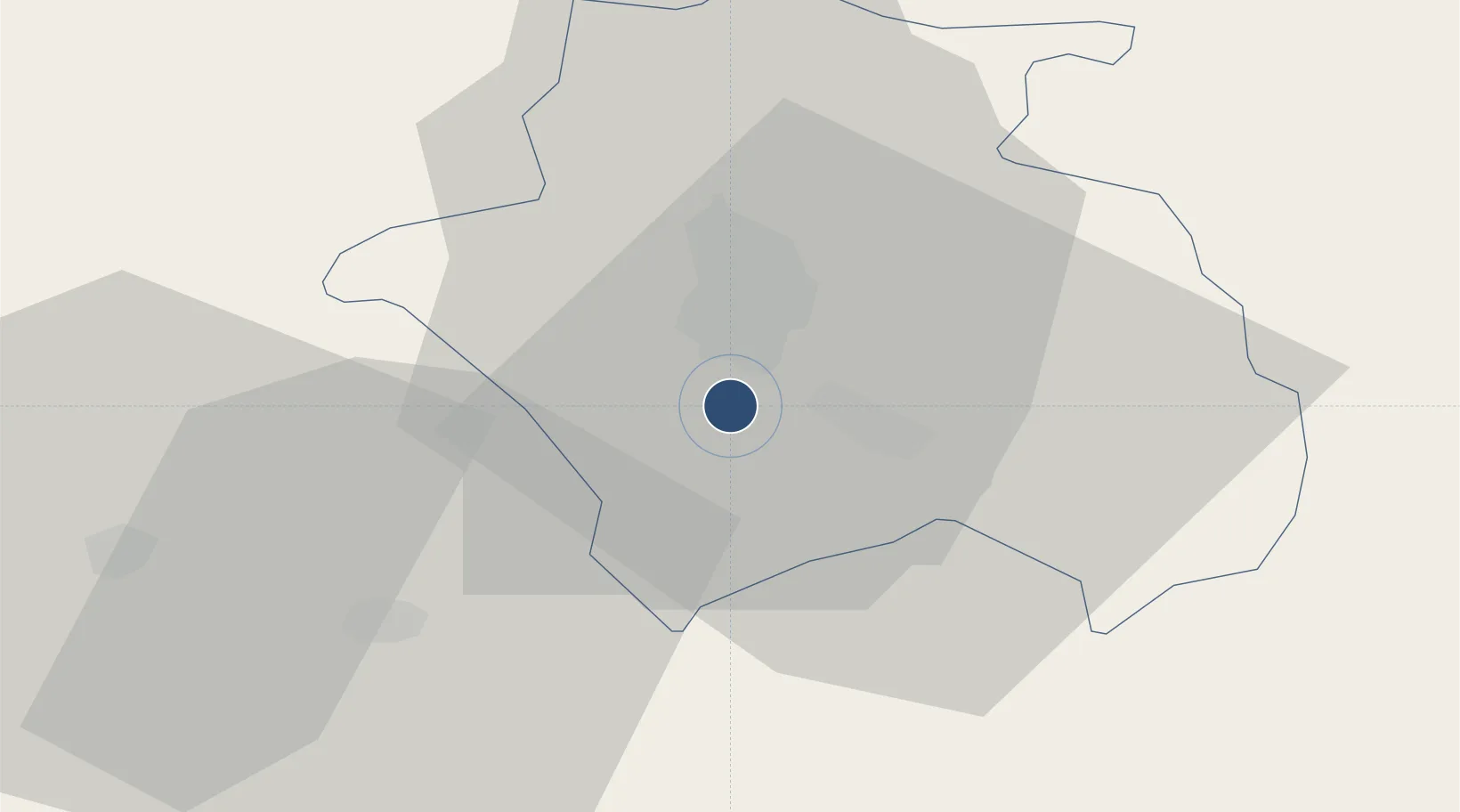
36.2760°, 6.6204°
9,843 ft
Longest runway
2
Runways
2,265 ft
Elevation

Runway & Layout

Mohamed Boudiaf International Airport runway & taxiway layout
Runway & taxiway layout — OpenStreetMap (ODbL) / OurAirports

Radio Frequencies

TWR
118.3 MHz
CONSTANTINE TWR
APP
120.1 MHz
CONSTANTINE APP
OurAirports

Navaids

CNE NDB Constantine 397 kHz
CSO VOR-DME Constantine 115.50 MHz
OurAirports

Runways · 2

RunwayDimensions SurfaceTrue headingLit
16/34 9,843 × 148ft Asphalt 159°
13/31 7,874 × 148ft Asphalt 136°
OurAirports

Airport Specifications

IATA code
CZL
OurAirports
ICAO code
DABC
OurAirports
Airport class
Large airport
OurAirports
Scheduled service
Yes
OurAirports
Runway surface
Asphalt
OurAirports
Served city
Constantine
OurAirports

Location

Location of DABC
Natural Earth 10m (public domain) · Constantine · DABC · 36.28, 6.62GoogleOSMYandex

Nearby Logistics Neighbours

Airports
  1. 1Batna Mostefa Ben Boulaid Airport65 km
  2. 2Jijel Ferhat Abbas Airport88 km
  3. 3Ain Arnat Airport116 km
  4. 4Annaba Rabah Bitat Airport123 km
  5. 5Soummam–Abane Ramdane Airport147 km
Nearest neighbours — logibook spatial index (haversine) over the source coordinates
Cities
  1. 1Skikda (ex Philippeville)72 km
  2. 2Collo83 km
  3. 3Djen-Djen89 km
  4. 4Sétif110 km
  5. 5Guellal119 km
Nearest neighbours — logibook spatial index (haversine) over the source coordinates
Ports
  1. 1Skikda73 km
  2. 2Collo81 km
  3. 3Djen-Djen89 km
  4. 4Jijel97 km
  5. 5Annaba125 km
Nearest neighbours — logibook spatial index (haversine) over the source coordinates
Trade Zones
  1. 1Bizerte Park of Economic Activities309 km
  2. 2Free Zone of Portovesme360 km
  3. 3Zarzis Park of Economic Activities514 km
  4. 4Sardinia Special Economic Zone Area522 km
  5. 5Ben Guerdane Economic Free Zone570 km
Nearest neighbours — logibook spatial index (haversine) over the source coordinates
DatabookThe Record of Consolidated Knowledge
Algeria beyond logistics?
Browse databook

All Sources

AirportsOurAirports
Public domain
Portsthe NGA World Port Index
Public domain (US gov)
LocationsUN/LOCODE
UN/LOCODE — free
Trade Zonesthe World Bank SEZ database
CC BY 4.0
Trade ZonesOpen Zone Map
CC BY
InfrastructureOpenStreetMap
ODbL 1.0
← Algeria airports