Transport Functions
Port
Road
Hub Profile
Place type
Populated place
Region
Béjaïa
Time zone
Africa/Algiers
Elevation
495 m
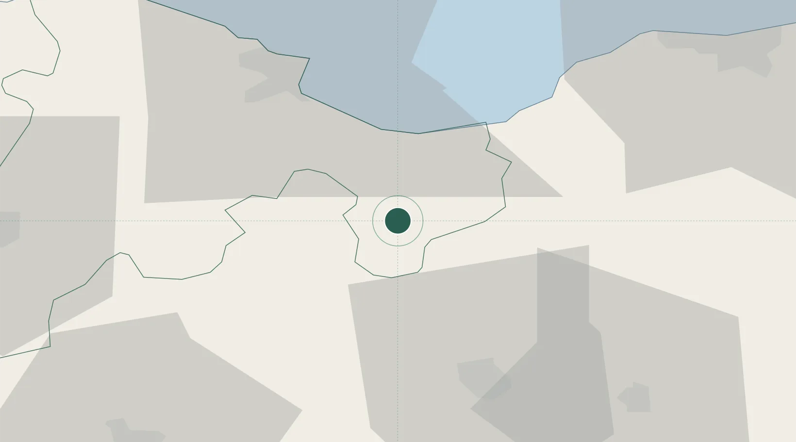
Location
Nearby Logistics Neighbours
Cities
- 1Bejaia (ex Bougie)34 km
- 2Sétif35 km
- 3Guellal50 km
- 4Bordj Bou Arreridj65 km
- 5Djen-Djen67 km
Airports
Trade Zones
DatabookThe Record of Consolidated Knowledge
Algeria beyond logistics?