Large airport · Algeria

Jijel Ferhat Abbas AirportDAAV
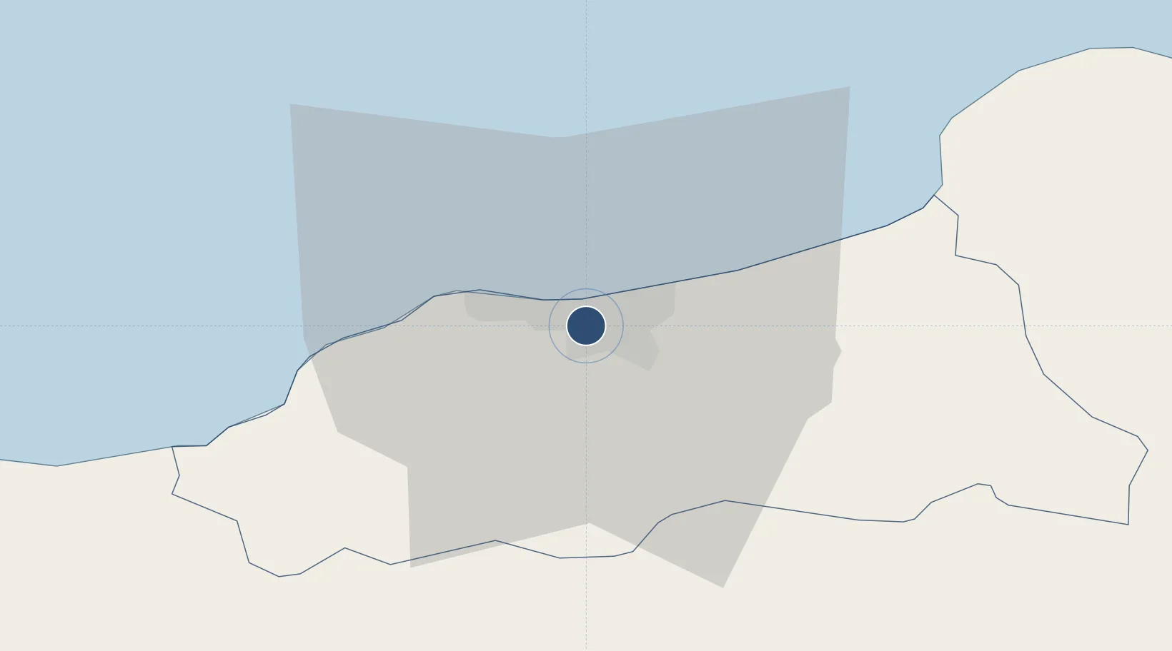
36.7941°, 5.8737°
7,874 ft
Longest runway
1
Runways
36 ft
Elevation

Runway & Layout

Jijel Ferhat Abbas Airport runway & taxiway layout
Runway & taxiway layout — OpenStreetMap (ODbL) / OurAirports

Radio Frequencies

TWR
119.7 MHz
OurAirports

Navaids

JIL VOR-DME Jijel 117.90 MHz
OurAirports

Runways · 1

RunwayDimensions SurfaceTrue headingLit
17/35 7,874 × 148ft Asphalt 171°
OurAirports

Airport Specifications

IATA code
GJL
OurAirports
ICAO code
DAAV
OurAirports
Airport class
Large airport
OurAirports
Scheduled service
Yes
OurAirports
Runway surface
Asphalt
OurAirports
Served city
Tahir
OurAirports

Location

Location of DAAV
Natural Earth 10m (public domain) · Jijel · DAAV · 36.79, 5.87GoogleOSMYandex

Nearby Logistics Neighbours

Airports
  1. 1Soummam–Abane Ramdane Airport72 km
  2. 2Ain Arnat Airport84 km
  3. 3Mohamed Boudiaf International Airport88 km
  4. 4Batna Mostefa Ben Boulaid Airport122 km
  5. 5Annaba Rabah Bitat Airport173 km
Nearest neighbours — logibook spatial index (haversine) over the source coordinates
Cities
  1. 1Djen-Djen3 km
  2. 2Kherrata64 km
  3. 3Collo65 km
  4. 4Bejaia (ex Bougie)71 km
  5. 5Sétif80 km
Nearest neighbours — logibook spatial index (haversine) over the source coordinates
Ports
  1. 1Djen-Djen3 km
  2. 2Jijel9 km
  3. 3Collo67 km
  4. 4Bejaia71 km
  5. 5Skikda93 km
Nearest neighbours — logibook spatial index (haversine) over the source coordinates
Trade Zones
  1. 1Free Zone of Portovesme347 km
  2. 2Bizerte Park of Economic Activities358 km
  3. 3Sardinia Special Economic Zone Area501 km
  4. 4Depósito Franco de Alicante586 km
  5. 5Zona Franca de Barcelona600 km
Nearest neighbours — logibook spatial index (haversine) over the source coordinates
DatabookThe Record of Consolidated Knowledge
Algeria beyond logistics?
Browse databook

All Sources

AirportsOurAirports
Public domain
Portsthe NGA World Port Index
Public domain (US gov)
LocationsUN/LOCODE
UN/LOCODE — free
Trade Zonesthe World Bank SEZ database
CC BY 4.0
Trade ZonesOpen Zone Map
CC BY
InfrastructureOpenStreetMap
ODbL 1.0
← Algeria airports