UN/LOCODE hub · Algeria
DZSKI
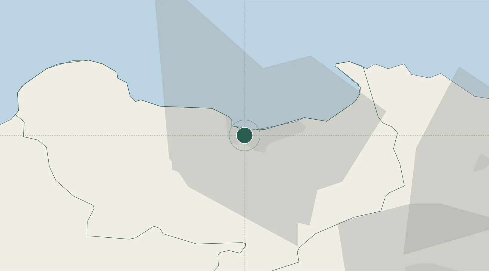
Skikda (ex Philippeville)
36.8737°, 6.9173°
2
Transport functions
1
Container terminals
Transport Functions
Port
Airport
Hub Profile
Logistics facilities
7
Container terminals
1
Location
Nearby Logistics Neighbours
Cities
- 1Collo36 km
- 2Annaba (ex Bone)75 km
- 3Djen-Djen92 km
- 4Kherrata154 km
- 5Sétif156 km
Airports
Trade Zones
DatabookThe Record of Consolidated Knowledge
Algeria beyond logistics?