Transport Functions
Rail
Road
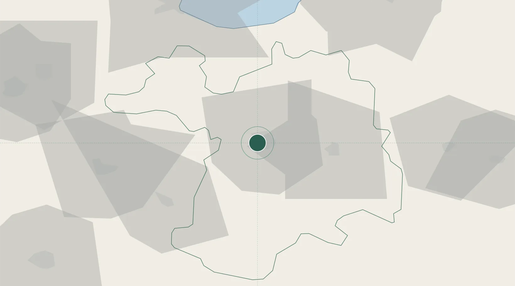
Hub Profile
Place type
Regional capital
Region
Sétif
Population
252,127
Time zone
Africa/Algiers
Elevation
1,096 m
Location
Nearby Logistics Neighbours
Cities
- 1Guellal18 km
- 2Kherrata35 km
- 3Bordj Bou Arreridj58 km
- 4Bejaia (ex Bougie)69 km
- 5Djen-Djen83 km
Airports
Trade Zones
DatabookThe Record of Consolidated Knowledge
Algeria beyond logistics?