Large airport · Algeria

Annaba Rabah Bitat AirportDABB
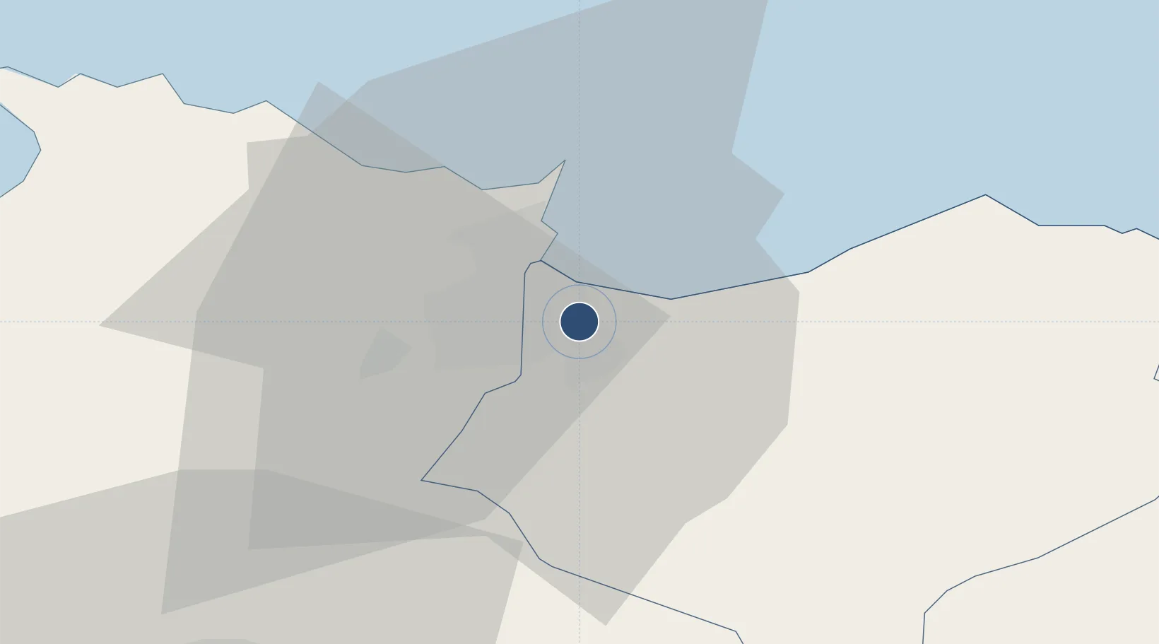
36.8268°, 7.8133°
9,843 ft
Longest runway
2
Runways
16 ft
Elevation

Runway & Layout

Annaba Rabah Bitat Airport runway & taxiway layout
Runway & taxiway layout — OpenStreetMap (ODbL) / OurAirports

Radio Frequencies

TWR
118.7 MHz
APP
119 MHz
OurAirports

Navaids

ANB VOR-DME Annaba 113.50 MHz
ANB NDB Annaba 366 kHz
OurAirports

Runways · 2

RunwayDimensions SurfaceTrue headingLit
18/36 9,843 × 148ft Asphalt 187°
05/23 7,513 × 148ft Asphalt 052°
OurAirports

Airport Specifications

IATA code
AAE
OurAirports
ICAO code
DABB
OurAirports
Airport class
Large airport
OurAirports
Scheduled service
Yes
OurAirports
Runway surface
Asphalt
OurAirports
Served city
Annaba
OurAirports

Location

Location of DABB
Natural Earth 10m (public domain) · El Tarf · DABB · 36.83, 7.81GoogleOSMYandex

Nearby Logistics Neighbours

Airports
  1. 1Tabarka-Aïn Draham International Airport96 km
  2. 2Mohamed Boudiaf International Airport123 km
  3. 3Cheikh Larbi Tébessi Airport158 km
  4. 4Jijel Ferhat Abbas Airport173 km
  5. 5Batna Mostefa Ben Boulaid Airport180 km
Nearest neighbours — logibook spatial index (haversine) over the source coordinates
Cities
  1. 1Annaba (ex Bone)7 km
  2. 2Skikda (ex Philippeville)80 km
  3. 3Collo114 km
  4. 4Béja123 km
  5. 5Tebessa161 km
Nearest neighbours — logibook spatial index (haversine) over the source coordinates
Ports
  1. 1Annaba11 km
  2. 2Skikda80 km
  3. 3Tabarka86 km
  4. 4Collo111 km
  5. 5Djen-Djen172 km
Nearest neighbours — logibook spatial index (haversine) over the source coordinates
Trade Zones
  1. 1Bizerte Park of Economic Activities188 km
  2. 2Free Zone of Portovesme268 km
  3. 3Sardinia Special Economic Zone Area431 km
  4. 4Zarzis Park of Economic Activities478 km
  5. 5Ben Guerdane Economic Free Zone533 km
Nearest neighbours — logibook spatial index (haversine) over the source coordinates
DatabookThe Record of Consolidated Knowledge
Algeria beyond logistics?
Browse databook

All Sources

AirportsOurAirports
Public domain
Portsthe NGA World Port Index
Public domain (US gov)
LocationsUN/LOCODE
UN/LOCODE — free
Trade Zonesthe World Bank SEZ database
CC BY 4.0
Trade ZonesOpen Zone Map
CC BY
InfrastructureOpenStreetMap
ODbL 1.0
← Algeria airports