Transport Functions
Port
Road
Hub Profile
Place type
Populated place
Region
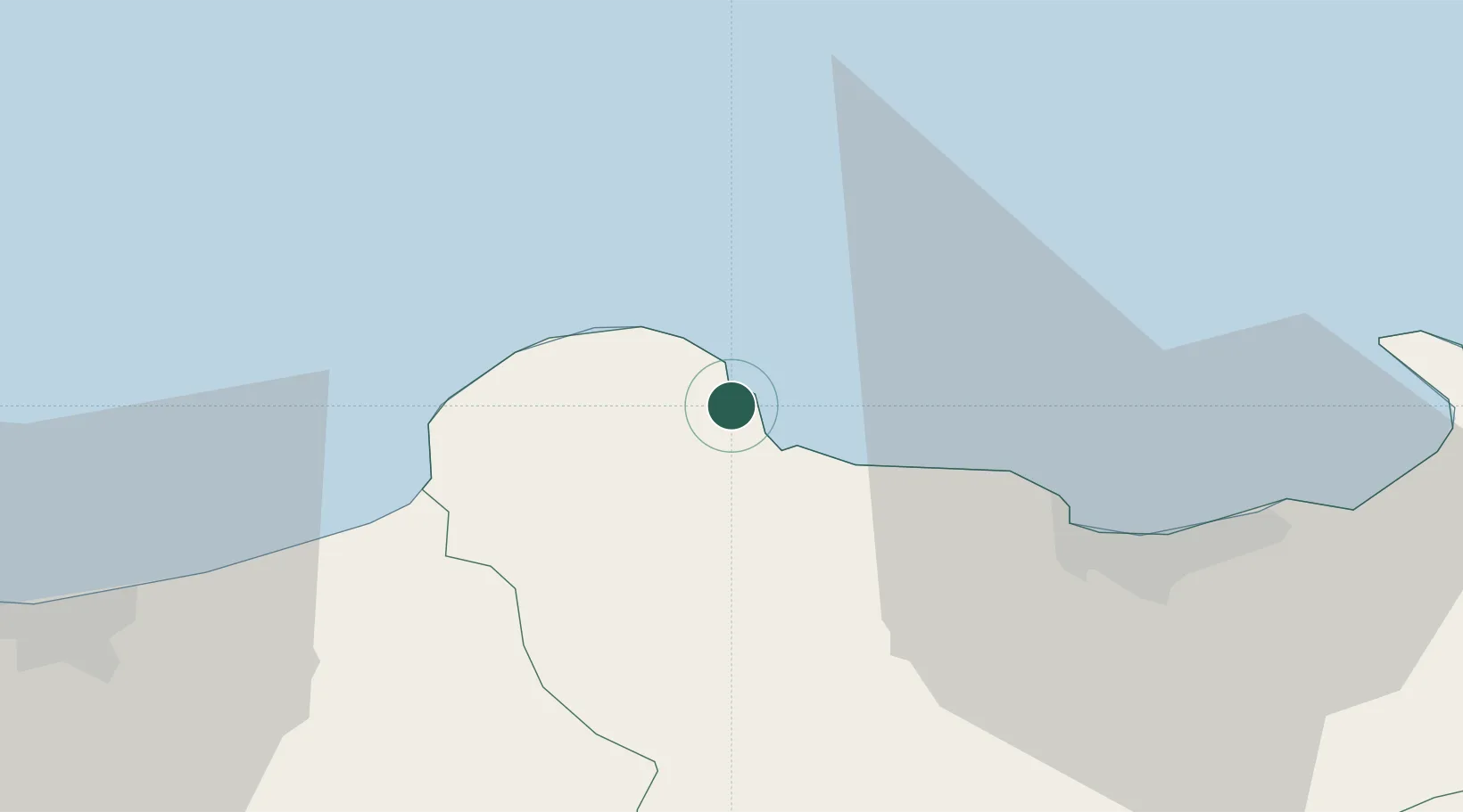
Skikda
Population
29,354
Time zone
Africa/Algiers
Elevation
33 m
Location
Nearby Logistics Neighbours
Cities
- 1Skikda (ex Philippeville)36 km
- 2Djen-Djen63 km
- 3Annaba (ex Bone)109 km
- 4Kherrata129 km
- 5Bejaia (ex Bougie)134 km
Airports
Trade Zones
DatabookThe Record of Consolidated Knowledge
Algeria beyond logistics?