Transport Functions
Rail
Road
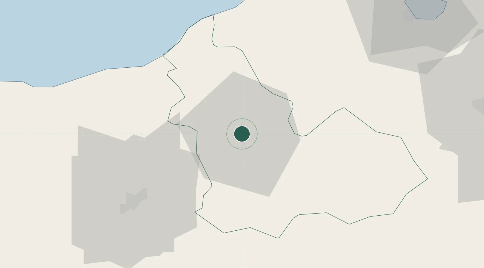
Hub Profile
Place type
Regional capital
Region
Béja Governorate
Population
61,568
Time zone
Africa/Tunis
Elevation
248 m
Location
Nearby Logistics Neighbours
Cities
- 1Tebourba59 km
- 2El Fahs76 km
- 3Bizerte85 km
- 4Lafayette/Tunis90 km
- 5Ariana90 km
Ports
- 1Tabarka45 km
- 2Menzel Bourguiba72 km
- 3Banzart87 km
- 4Tunis95 km
- 5La Goulette100 km
Airports
Trade Zones
DatabookThe Record of Consolidated Knowledge
Tunisia beyond logistics?