Seaport · Tunisia

TabarkaTNTBJ

36.9667°, 8.7667°

Channel & Berth Profile

NGA World Port Index

Facilities & Capabilities

Container
Ro-Ro
Liquid bulk
Dry bulk
Oil terminal
Break bulk
Dry dock
Repairs
Bunkering
Rail link
Dangerous cargo
ISPS security
NGA World Port Index

Harbour Specifications

Harbour size
Very Small
NGA World Port Index
Harbour type
Coastal (Breakwater)
NGA World Port Index
Shelter
Fair
NGA World Port Index
Water body
Mediterranean Sea; North Atlantic Ocean
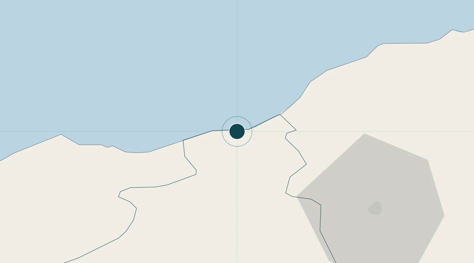
NGA World Port Index

Location

Location of TNTBJ
Natural Earth 10m (public domain) · Jendouba · TNTBJ · 36.97, 8.77GoogleOSMYandex

Nearby Logistics Neighbours

Ports
  1. 1Annaba89 km
  2. 2Menzel Bourguiba94 km
  3. 3Banzart105 km
  4. 4Tunis133 km
  5. 5Rades137 km
Nearest neighbours — logibook spatial index (haversine) over the source coordinates
Cities
  1. 1Béja45 km
  2. 2Annaba (ex Bone)90 km
  3. 3Tebourba96 km
  4. 4Bizerte104 km
  5. 5El Fahs121 km
Nearest neighbours — logibook spatial index (haversine) over the source coordinates
Airports
  1. 1Tabarka-Aïn Draham International Airport10 km
  2. 2Annaba Rabah Bitat Airport86 km
  3. 3Bizerte Sidi Ahmed Air Base96 km
  4. 4Tunis Carthage International Airport131 km
  5. 5Enfidha - Hammamet International Airport179 km
Nearest neighbours — logibook spatial index (haversine) over the source coordinates
Trade Zones
  1. 1Bizerte Park of Economic Activities103 km
  2. 2Free Zone of Portovesme249 km
  3. 3Sardinia Special Economic Zone Area403 km
  4. 4Zarzis Park of Economic Activities442 km
  5. 5Sicily Special Economic Zone Area492 km
Nearest neighbours — logibook spatial index (haversine) over the source coordinates
DatabookThe Record of Consolidated Knowledge
Tunisia beyond logistics?
Browse databook

All Sources

Portsthe NGA World Port Index
Public domain (US gov)
AirportsOurAirports
Public domain
LocationsUN/LOCODE
UN/LOCODE — free
Trade Zonesthe World Bank SEZ database
CC BY 4.0
Trade ZonesOpen Zone Map
CC BY
← Tunisia ports