Medium airport · Tunisia

Tabarka-Aïn Draham International AirportDTKA
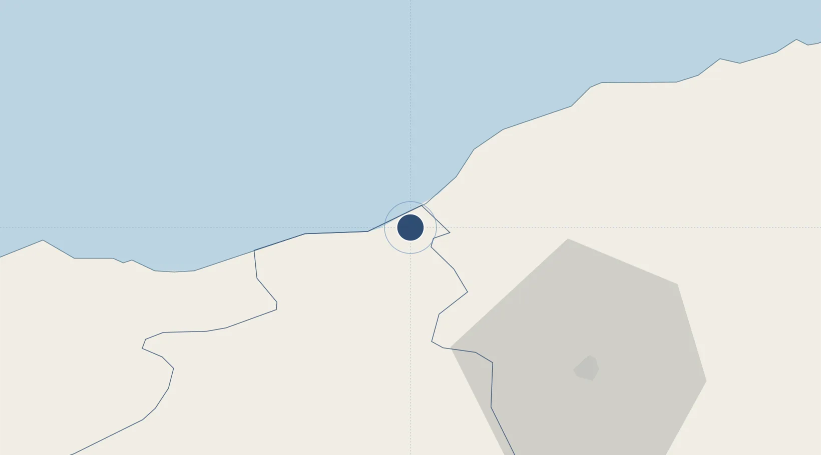
36.9800°, 8.8769°
9,416 ft
Longest runway
1
Runways
230 ft
Elevation

Runway & Layout

Tabarka-Aïn Draham International Airport runway & taxiway layout
Runway & taxiway layout — OpenStreetMap (ODbL) / OurAirports

Radio Frequencies

TWR
119.25 MHz
APP
119.25 MHz
OurAirports

Navaids

TBK VOR-DME Tabarka 113.30 MHz
TK NDB Tabarka 7 Novembre 351 kHz
OurAirports

Runways · 1

RunwayDimensions SurfaceTrue headingLit
09/27 9,416 × 148ft Asphalt 093°
OurAirports

Airport Specifications

IATA code
TBJ
OurAirports
ICAO code
DTKA
OurAirports
Airport class
Medium airport
OurAirports
Scheduled service
Yes
OurAirports
Runway surface
Asphalt
OurAirports
Served city
Tabarka
OurAirports

Location

Location of DTKA
Natural Earth 10m (public domain) · Jendouba · DTKA · 36.98, 8.88GoogleOSMYandex

Nearby Logistics Neighbours

Airports
  1. 1Bizerte Sidi Ahmed Air Base86 km
  2. 2Annaba Rabah Bitat Airport96 km
  3. 3Tunis Carthage International Airport121 km
  4. 4Enfidha - Hammamet International Airport172 km
  5. 5Cheikh Larbi Tébessi Airport185 km
Nearest neighbours — logibook spatial index (haversine) over the source coordinates
Cities
  1. 1Béja39 km
  2. 2Tebourba87 km
  3. 3Bizerte94 km
  4. 4Annaba (ex Bone)100 km
  5. 5El Fahs114 km
Nearest neighbours — logibook spatial index (haversine) over the source coordinates
Ports
  1. 1Tabarka10 km
  2. 2Menzel Bourguiba84 km
  3. 3Banzart95 km
  4. 4Annaba99 km
  5. 5Tunis124 km
Nearest neighbours — logibook spatial index (haversine) over the source coordinates
Trade Zones
  1. 1Bizerte Park of Economic Activities93 km
  2. 2Free Zone of Portovesme248 km
  3. 3Sardinia Special Economic Zone Area401 km
  4. 4Zarzis Park of Economic Activities439 km
  5. 5Sicily Special Economic Zone Area482 km
Nearest neighbours — logibook spatial index (haversine) over the source coordinates
DatabookThe Record of Consolidated Knowledge
Tunisia beyond logistics?
Browse databook

All Sources

AirportsOurAirports
Public domain
Portsthe NGA World Port Index
Public domain (US gov)
LocationsUN/LOCODE
UN/LOCODE — free
Trade Zonesthe World Bank SEZ database
CC BY 4.0
Trade ZonesOpen Zone Map
CC BY
InfrastructureOpenStreetMap
ODbL 1.0
← Tunisia airports