Medium airport · Canada
Resolute Bay AirportCYRB
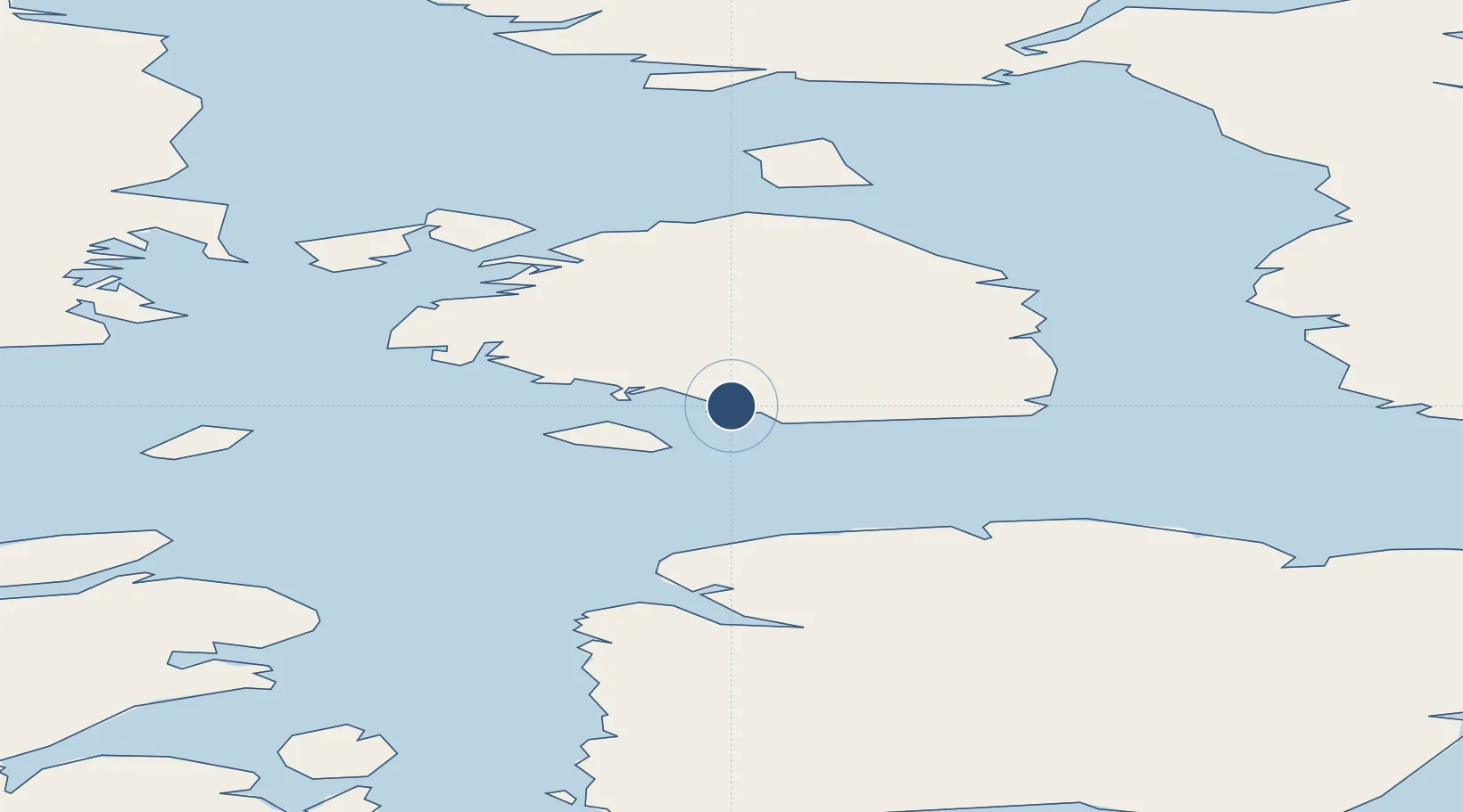
74.7169°, -94.9694°
6,500 ft
Longest runway
1
Runways
215 ft
Elevation
Runway & Layout

Radio Frequencies
RCO
126.7 MHz
ARCTIC RDO
RDO
122.1 MHz
ARPT RDO
Navaids
RB NDB Resolute Bay 350 kHz
RU NDB Cape Martyr 391 kHz
YRB VOR-DME Resolute Bay 112.10 MHz
Runways · 1
| Runway | Dimensions | Surface | True heading | Lit |
|---|---|---|---|---|
| 17T/35T | 6,500 × 200ft | Gravel | 167° | ✓ |
Airport Specifications
IATA code
YRB
ICAO code
CYRB
Airport class
Medium airport
Scheduled service
Yes
Runway surface
Gravel
Served city
Resolute Bay
Location
Nearby Logistics Neighbours
Airports
- 1Arctic Bay Airport360 km
- 2Grise Fiord Airport383 km
- 3Taloyoak Airport577 km
- 4Gjoa Haven Airport677 km
- 5Kugaaruk Airport710 km
Cities
- 1Arctic Bay355 km
- 2Grise Fiord382 km
- 3Milne Inlet Port546 km
- 4Gjoa Haven679 km
- 5Cambridge Bay712 km
Ports
- 1Pond Inlet605 km
- 2Pituffik (Thule Air Base)741 km
- 3Deception Bay1606 km
- 4Churchill1772 km
- 5Heron Bay2927 km
Trade Zones
- 1Port Alberta - Edmonton FTZ2482 km
- 2PrInce George Logistics Park2615 km
- 3Global Transportation Hub Authority2736 km
- 4Winnipegs Centreport Canada2762 km
- 5Calgary Region Inland Port2773 km
DatabookThe Record of Consolidated Knowledge
Canada beyond logistics?