Small airport · Canada
Fort Ware AirportCAJ9
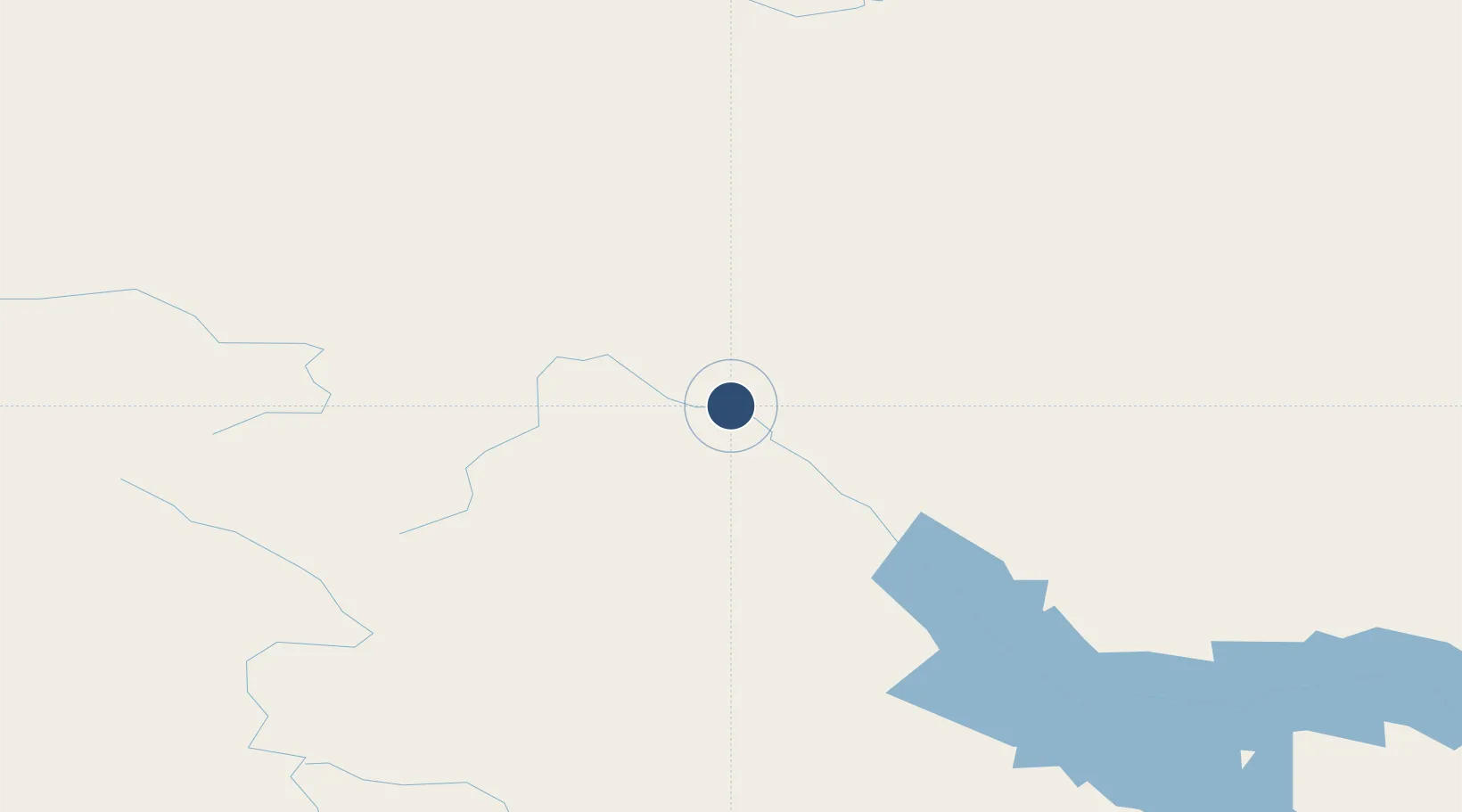
57.4279°, -125.6482°
4,700 ft
Longest runway
1
Runways
2,450 ft
Elevation
Runway & Layout

Runways · 1
| Runway | Dimensions | Surface | True heading | Lit |
|---|---|---|---|---|
| 09/27 | 4,700 × 30ft | GRAVEL | — | — |
Airport Specifications
ICAO code
CAJ9
Airport class
Small airport
Scheduled service
Yes
Runway surface
GRAVEL
Served city
Fort Ware
Location
Nearby Logistics Neighbours
Airports
- 1Tsay Keh Airport71 km
- 2Ospika Airport161 km
- 3Fort Nelson Airport238 km
- 4Mackenzie Airport283 km
- 5Smithers Airport305 km
Cities
- 1Telkwa317 km
- 2Endako374 km
- 3Vanderhoof393 km
- 4Bay Tree394 km
- 5Neets Bay407 km
Ports
- 1Stewart313 km
- 2Hyder314 km
- 3Loring420 km
- 4Kitimat426 km
- 5Port Simpson435 km
Trade Zones
- 1PrInce George Logistics Park431 km
- 2FTZ Vancouver Island925 km
- 3FTZ No. 128 Whatcom County980 km
- 4FTZ No. 129 Bellingham987 km
- 5Calgary Region Inland Port1032 km
DatabookThe Record of Consolidated Knowledge
Canada beyond logistics?