Small airport · Canada
Uranium City AirportCYBE
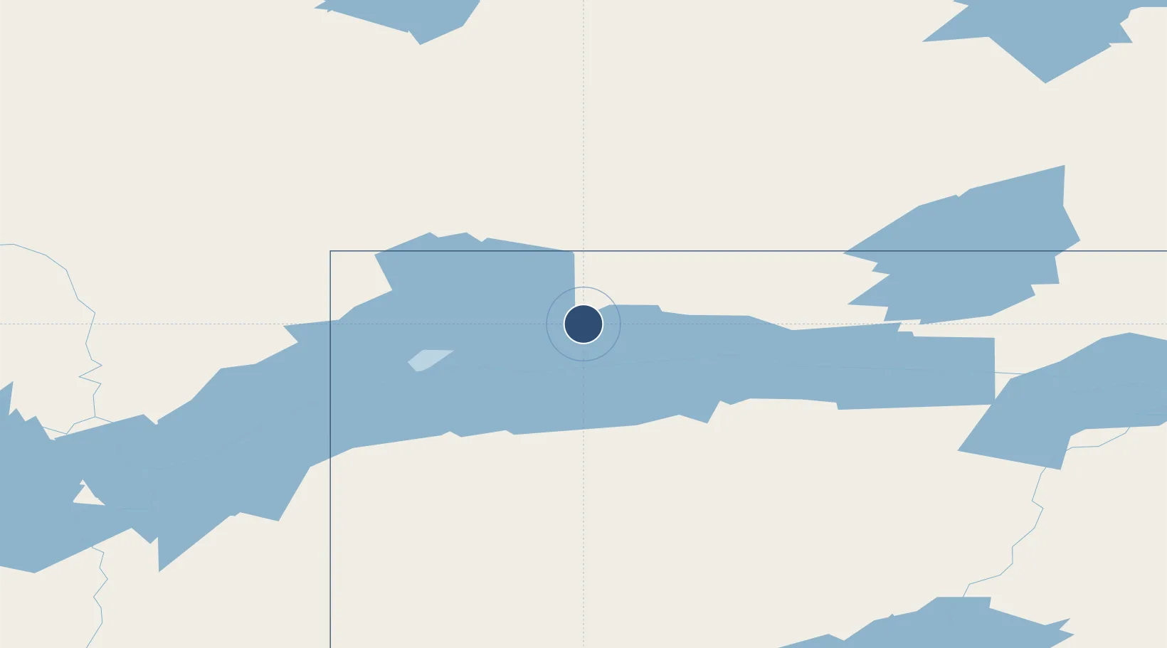
59.5614°, -108.4810°
3,935 ft
Longest runway
1
Runways
1,044 ft
Elevation
Runway & Layout

Radio Frequencies
ATF
123.2 MHz
Navaids
YBE NDB Uranium City 379 kHz
Runways · 1
| Runway | Dimensions | Surface | True heading | Lit |
|---|---|---|---|---|
| 06/24 | 3,935 × 100ft | Asphalt/concrete | 075° | ✓ |
Airport Specifications
IATA code
YBE
ICAO code
CYBE
Airport class
Small airport
Scheduled service
Yes
Runway surface
Asphalt/concrete
Served city
Uranium City
Location
Nearby Logistics Neighbours
Airports
- 1Fond-du-Lac Airport78 km
- 2Stony Rapids Airport153 km
- 3Fort Chipewyan Airport174 km
- 4Fort Smith Airport201 km
- 5Points North Landing Airport290 km
Cities
- 1Kearl Lake275 km
- 2Fort MacKay322 km
- 3Anzac379 km
- 4Lac La Biche573 km
- 5Glendon612 km
Ports
- 1Churchill817 km
- 2Mission City1456 km
- 3Port Coquitlam1468 km
- 4Port Moody1468 km
- 5Port Mellon1471 km
Trade Zones
- 1Port Alberta - Edmonton FTZ723 km
- 2Calgary Region Inland Port1009 km
- 3Global Transportation Hub Authority1041 km
- 4PrInce George Logistics Park1069 km
- 5FTZ No. 187 Toole County1243 km
DatabookThe Record of Consolidated Knowledge
Canada beyond logistics?